Enseignement

Ecole d’automne franco-indienne de télédétection

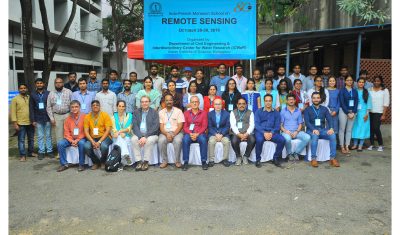
Une école d’automne franco-indienne de télédétection a eu lieu à Bangalore à l’Indian Institute of Science (28-30 octobre 2019), avec la présence d’une cinquantaine de participants (doctorants, chercheurs, ingénieurs). Cet événement a été organisé par le pole des surfaces continentales Theia, ICWar (Indian Institute of Science), le CEFIRSE et le Cesbio (organisateurs : Nicolas Baghdadi, […]

SMOS

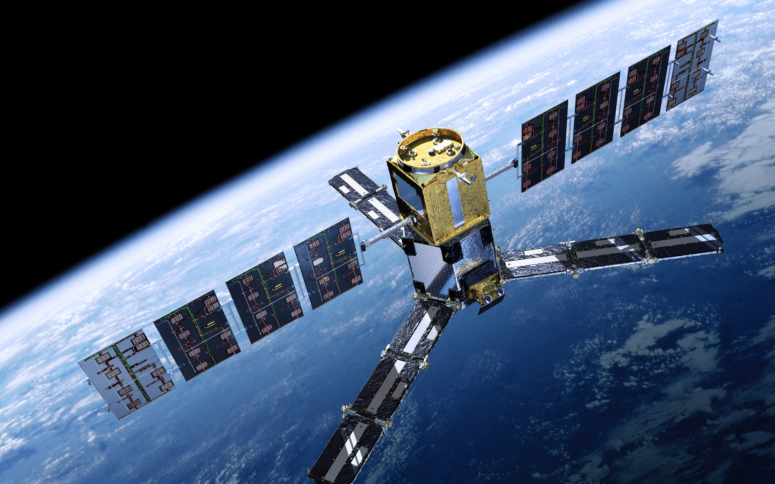
SMOS : 10 ans en orbite !

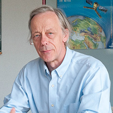
Pour en savoir plus : « SMOS is 10 years old! Happy Birthday and many happy returns » par Yann Kerr sur le blog SMOS

Évènements

International workshop on large-scale land-cover mapping from remote sensing

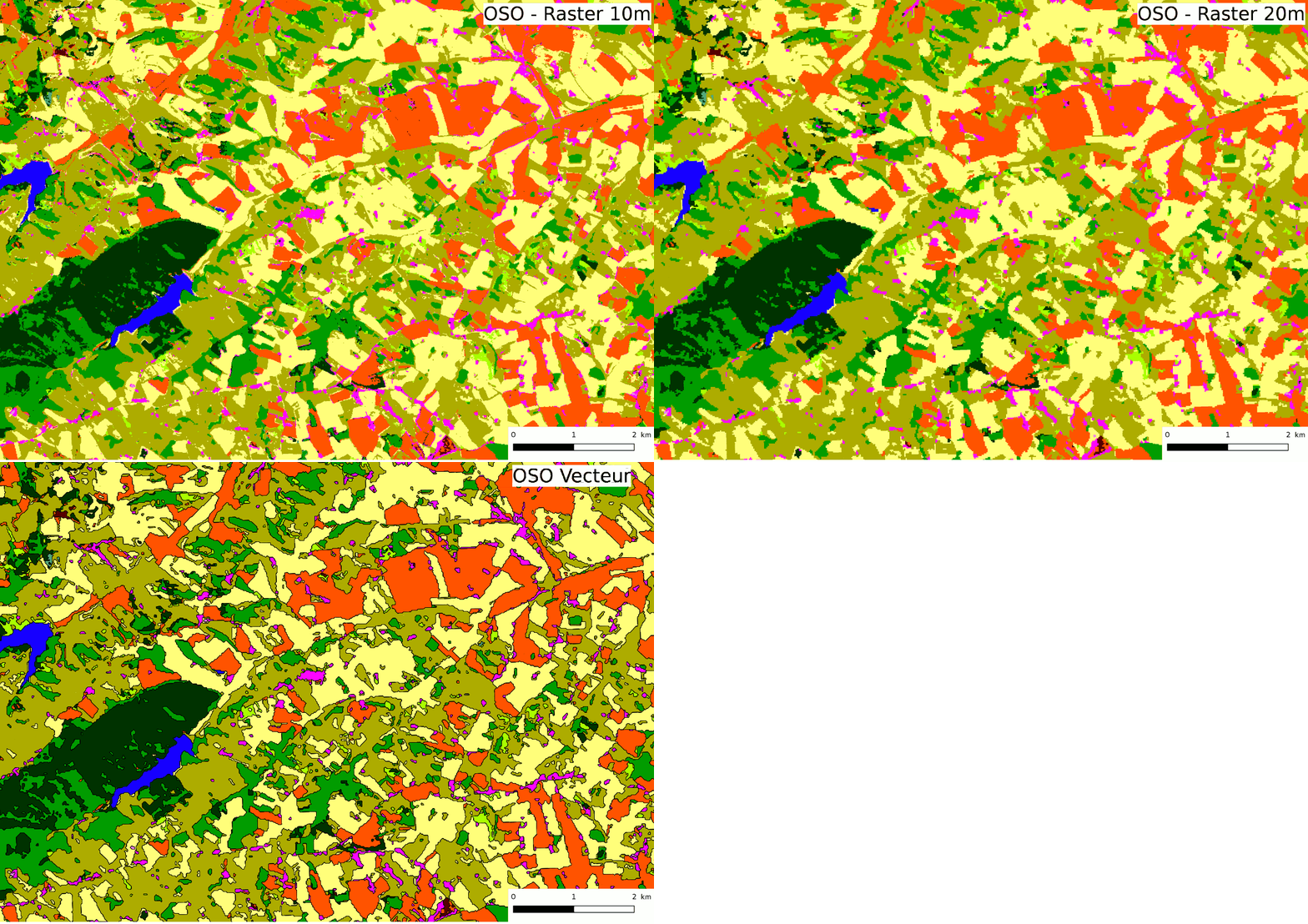
The MAESTRIA project will organize workshops related to large scale land-cover mapping during the 2019-2022 period in order to collect users’ expectations, validate choices and identify remaining challenges. This first one-day meeting will be held on 3rd December 2019 in Paris and its main objective is to gather international land-cover experts from several organizations (ESA, […]

SudMed

Atelier CES – ART GeoDEV

Un atelier de réflexion entre la coordination de l’ART et les responsables de Centres d’Expertise Scientifique (CES) du Pôle Theia a eu lieu dans les locaux du CESBIO, à Toulouse le 1er octobre 2019. Cette journée d’échange proposée par les animateurs de l’ART GeoDEV a réuni une quarantaine de participants… (source : http://www.theia-land.art-geodev.fr/atelier-ces-art-geodev-01-10-19-cesbio-toulouse/)

BIOMASS

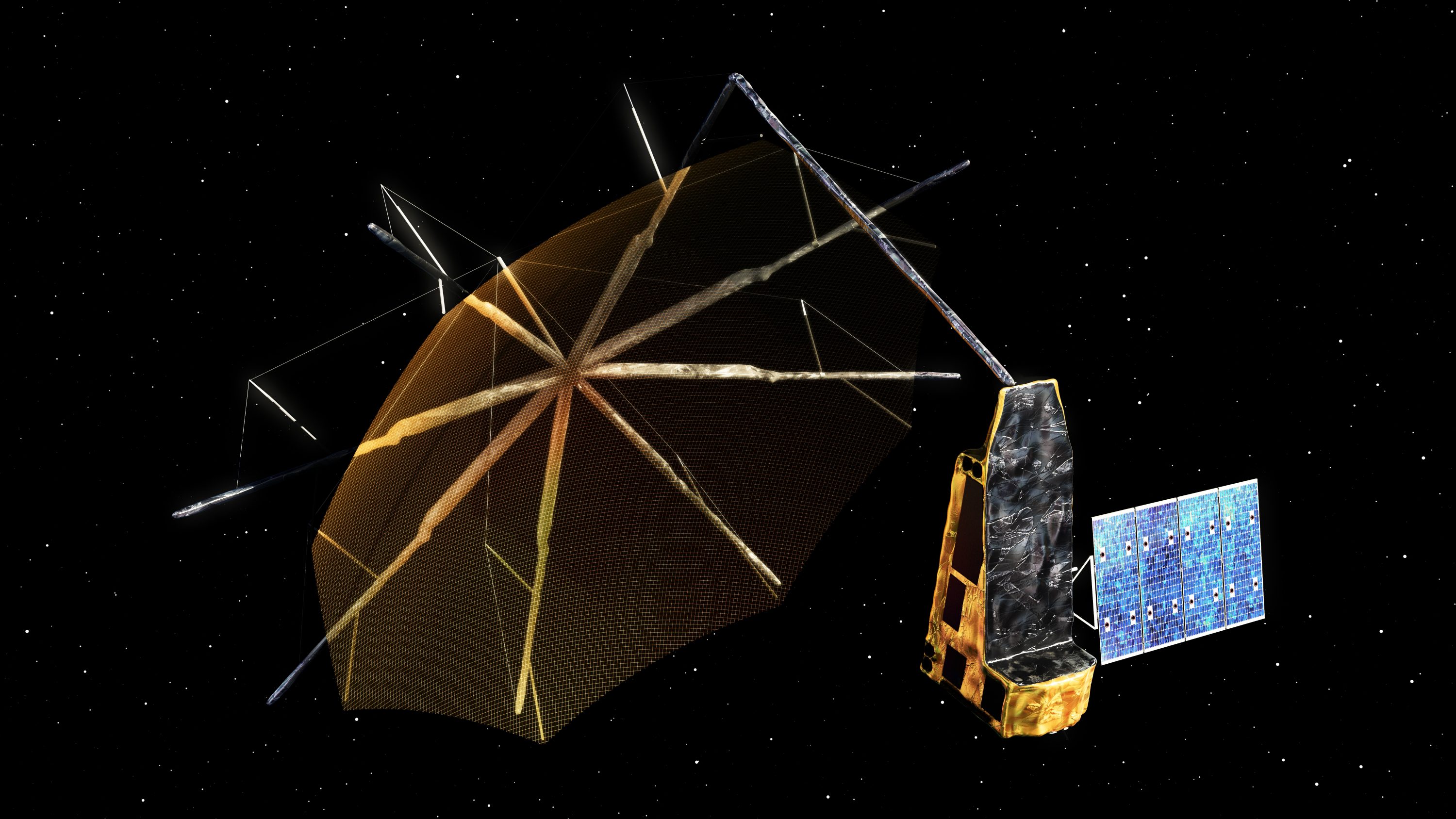
BIOMASS : lancement prévu en 2022 !

L’ESA et Arianespace viennent de signer le contrat de lancement pour le satellite BIOMASS. Pour en savoir plus : https://www.esa.int/Applications/Observing_the_Earth/Contract_seals_deal_for_Biomass_satellite_s_ride_into_space

Séries temporelles optiques

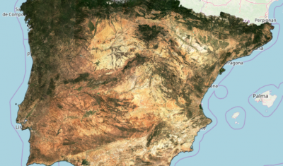
Time series of Sentinel-2 monthly syntheses in Spain

Enseignement

Formation doctorale « Data Analysis for Geoscience 2018 »

We propose a one-week introduction to data sciences for geosciences. This doctoral course is free and based on courses, practices and a project. The aim of the course is to learn the basics of machine learning and statistical modeling with their implementation for geoscientific problems using dedicated libraries. It is given in English upon request […]

Non classé

Doctoral course: Data Science for Geoscience

The second edition of the “Data Science for Geosciences” training will be held in Toulouse from Monday 27 to Friday 31 January 2020. Students will acquire the main concepts of data processing and statistical learning and their implementation through dedicated libraries in the field of geosciences. More information: https://dsg2020.wordpress.com/ Contact: mathieu.fauvel@inra.fr

Non classé

THEIA’s Sentinel-2 L2A processing on Sahel is progressing

Séries temporelles optiques

Le traitement des données Sentinel-2 L2A au Sahel progresse

Séries temporelles optiques

La sécheresse en France vue par Sentinel-2