PhD defense of Dawa Derksen 02/12/19
Contextual classification of large volumes of satellite imagery for the production of land cover maps over wide areas
at 10:45, in the conference room (ground floor)You are kindly invited to assist the Ph.D. thesis defense, which will take place at the CESBIO laboratory, on Monday the 2nd of December 2019 at 10:45, in the conference room (ground floor), and to the buffet that will be served afterwards.
The jury is made up of the following members:
Mr. Sébastien LEFÈVRE (University of South Brittany/IRISA, Referee)
Mr. Gabriele MOSER (University of Genoa, Referee)
Ms. Florence TUPIN (Télécom Paris, Examinator)
Mr. Mathieu FAUVEL (INRA, Examinator)
Ms. Silvia VALERO (Univeristy Paul Sabatier, Examinator)
Mr. Éric Ceschia (INRA, Examinator)
Mr. Julien MICHEL (CNES, Invited member)
Mr. Jordi Inglada (CNES/CESBIO, PhD director)
Abstract:
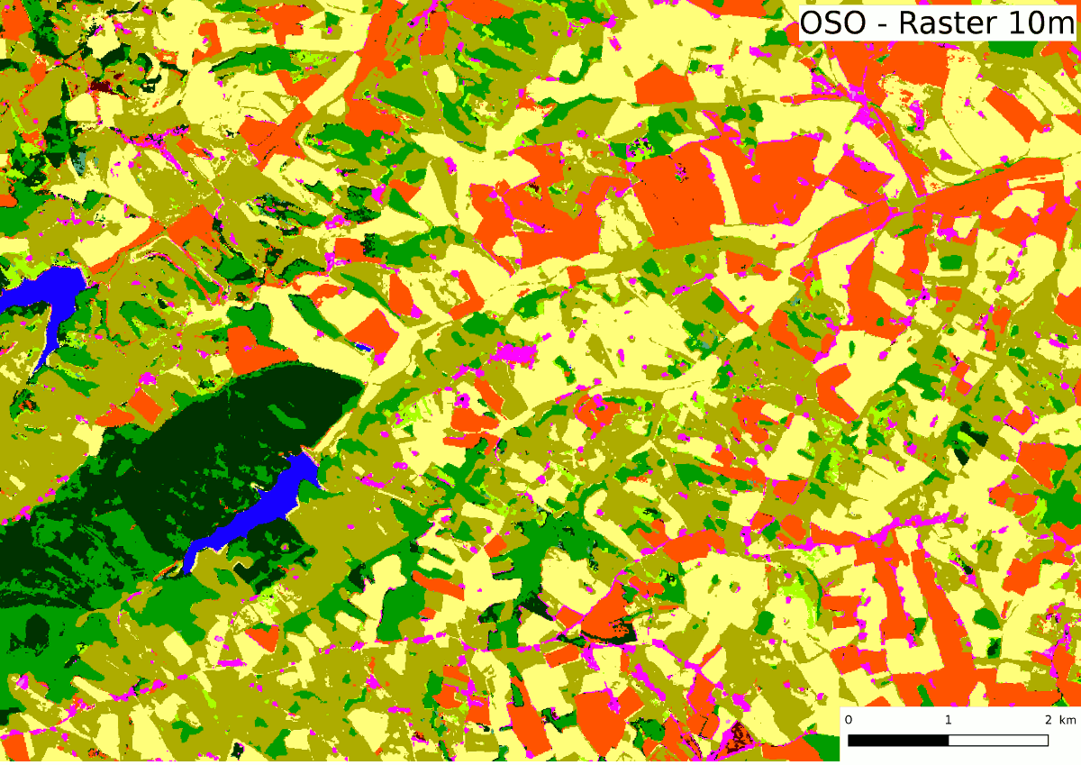
Land cover mapping is defined as the description of the nature and use of the surface of the Earth. A reliable, up-to-date knowledge of this is of a great interest for many applications. For example, urban development, climate, or catastrophic event detection (forest fires, floods, etc.). Today, most land cover maps are produced using satellite imagery, for instance, the multi-spectral time series of the Sentinel-2 satellites. Supervised classification algorithms have long since been designed to rapidly label the elements of a data set, using a set of already labeled samples. The production of the OSO map, which covers France, is done every year since 2016 using a supervised classifier.
One of the difficulties that comes forth is the discrimination of classes that depend more on the context of the pixel than on its content. This is the case for urban cover classes (discontinuous/continuous urban fabric), where the difference does not lie in the pixel features, but rather in certain properties of the neighborhood. The objective of this Ph.D. is therefore to compare several methods of contextual inclusion, in order to improve the quality of land cover maps.
The first part of the Ph.D. adresses the definition of the neighborhood (its shape), the most common being sliding window, and object from an image segementation. However, an interesting intermediary representation is studied here: the superpixel, which can be seen as an intermediate between the two.
The second part of the thesis studies describing the contents of the neighborhood. This can be done either by calculating certain descriptors of the neighborhood such as texture or shape, or by providing the entire context to the model, which can therefore be designed to apprehend the geometric elements in the image (Convolutional Neural Networks, CNN)
Finally, a new method for contextual inclusion is presented, which consists in calculating the histogram of predicted classes in the neighborhood. Starting with a pixel-based classification, it becomes possible to iterate several successive steps of classification, which recalculate the histograms using the previous classifications. This method is compared to state of the art CNN architectures on two very different land cover mapping problems (Sentinel-2 and SPOT/7).