History
Le CESBIO promeut depuis de nombreuses années l’utilisation de séries temporelles optiques. Dès 1998, G. Dedieu et F. Cabot, avaient proposé la mission Rhéa pour obtenir des données quotidiennement sur plusieurs sites. En 2003, la mission Venµs était décidée, basée sur Rhea, mais avec une revisite à deux jours, en raison de la collaboration avec l’agence spatiale Israélienne, avec un lancement en 2008 (qui n’aura lieu que 10 ans plus tard). Le CESBIO (G. Dedieu, O. Hagolle) a ensuite participé à la définition de la mission « GMES continental », qui aurait permis d’observer le monde entier tous les 3 jours avec une résolution de 10m. Cette mission était similaire à celle qui est devenue le programme Sentinel-2 de l’Union Européenne. En 2013 et en 2015, le CESBIO (O.Hagolle) a piloté la mission SPOT (Take5), consistant à modifier l’orbite de SPOT4 et SPOT5 pour les placer sur l’orbite à 5 jours afin de simuler les acquisitions de Sentinel-2.
Depuis 2016, le CESBIO (G. Dedieu) propose une mission permettant d’observer systématiquement l’ensemble des terres à 2m de résolution, avec une observation claire par trimestre. Cette mission a été reproposée au CNES en 2018 sous le nom de Sentinel-HR.

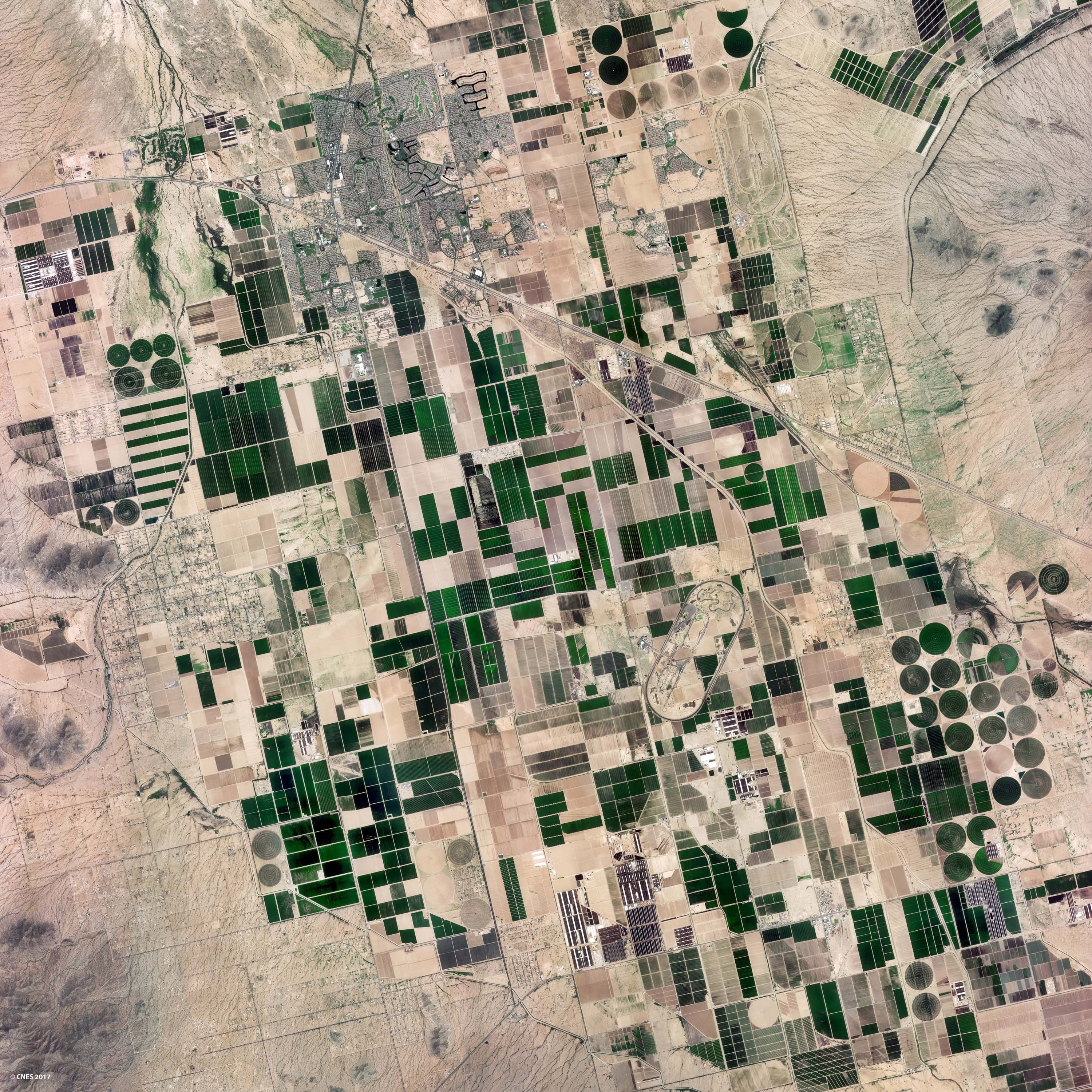
Synthèses mensuelles de réflectance de surface réalisées sur la France à partir d’images Sentinel-2 (après corrections atmosphériques et détection des nuages). Les données sont disponibles à 10m de résolution auprès de Theia.
Sentinel-2 : une mission opérationnelle de l’Agence Spatiale Européenne (ESA)
Le programme Copernicus de l’union Européenne, est le plus grand programme d’observation de la terre au monde. Les observations sont systématiques, globales, répétitives, et garantis sur au moins 15 ans. Les missions ont été implémentées par l’Agence Spatiale Européenne. La mission Sentinel-2 en est la composante optique, à résolution décamétrique, avec une revisite systématique de 5 jours grâce à deux satellites jumeaux, Sentinel-2A (lancé en 2015) et Sentinel-2B (lancé en 2017).
Sentinel-2 dispose de 13 bandes spectrales dont 3 dans le moyen infrarouge (MIR). Les images ont un champ de vue de 290 km de large, et une résolution de 10m, 20m ou 60m en fonction des bandes spectrales. Le système Sentinel-2 avec ses 2 satellites est supérieur au système LANDSAT sur tous les aspects, sauf en ce qui concerne l’absence de bandes dans l’infra-rouge thermique qui sont présentes sur LANDSAT.

bandes spectrales de Sentinel-2
Venµs : montrer l’intérêt d’observations à haute répétitivité temporelle
The Venµs satellite is a Franco-Israeli satellite which aims to demonstrate the interest of a high revisit frequency for vegetation monitoring. Venµs is a micro-satellite, which does not allow to observe the whole world, but still 110 sites selected through a call for projects. Imagined at CESBIO by Gérard Dedieu and his team, the mission was decided in 2003. The satellite was initially planned to be launched in 2008, but due to numerous technical and political problems, it was only launched in August 2017.
The main characteristics of Venµs are :
- its high resolution: 5m
- its rather narrow field of view : 28 km
- its ability to acquire data every 2 days on the 110 selected sites
- the availability of 12 spectral bands in the visible and near infrared
The L1C and L2A level products are distributed on a free access basis by the Theia land data center.

Use of optical remote sensing time series at CESBIO
High-resolution optical time series are a source of data perfectly adapted to the needs of CESBIO, which is particularly interested in agricultural plots, or even in variations within the plot. For this reason, CESBIO develops many research projects related to the use of these data :
- Cloud detection and atmospheric correction, within the MAJA processor operationally used by several production centers among which the Theia land sata center or PEPS, the French mirror site of Sentinel-2 data, which runs MAJA on demand.
- Monthly syntheses of cloud free surface reflectance with the WASP processor, whose products are also delivered by Theia.
- Snow cover detection, within the Let it Snow processor, also in production within Theia.
- Land cover maps, within the Iota2 software. Land cover maps over France are produced every year since 2016 form Sentinel-2 data. The data are now produced and distributed by Theia.
- CESBIO is driving or contributing to numerous expertise centres within Theia, to devlop methods or applications. On top of those quoted above, we can cite evapo-transpiration maps, detection of irrigated plots, deforestation, soil moisture …

Land cover map obtained from Sentinel-2 surface reflectance time series for 2017.
Blog
We regularly publish the results obtaines by CESBIO with optical time series in our blog « Séries Temporelles ».