Sen2agri system released
After 3 years of development, we are very happy to share the news of Sen2Agri system release. Sen2Agri system is a fully automatic production system to produce agriculture information from Sentinel-2 data, with a focus on food security applications. For this reason, the final user meeting was held in Rome at Food and Agriculture Organization and World Food Program. The Sen2Agri project was funded and managed by ESA, and developed by a consortium led by Université Catholique de Louvain, with CESBIO, CS France and CS-Romania.
The system manages the following operations :
- Sentinel-2 and LANDSAT 8 data download,
- L2A processing with MACCS/MAJA software (developed by CNES and CESBIO)
- Monthly Synthesis product generation (with a method developed at CESBIO)
- Generation of LAI products (based on a method developed at INRA, France, and updated, integrated to Orfeo Toolbox by CESBIO)
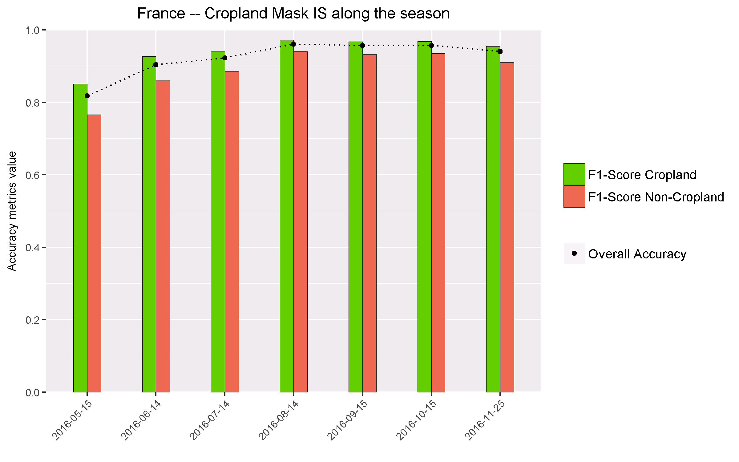
- A Crop mask (issued several times per year), with two different methods :
- without in situ data (method developed at UCL)
- with in-situ data (method developed at CESBIO)
- A crop type product (with a method developed at CESBIO, an early version of iota2 processor)
The scientific work behind the methods was described in a special issue of MDPI remote sensing.
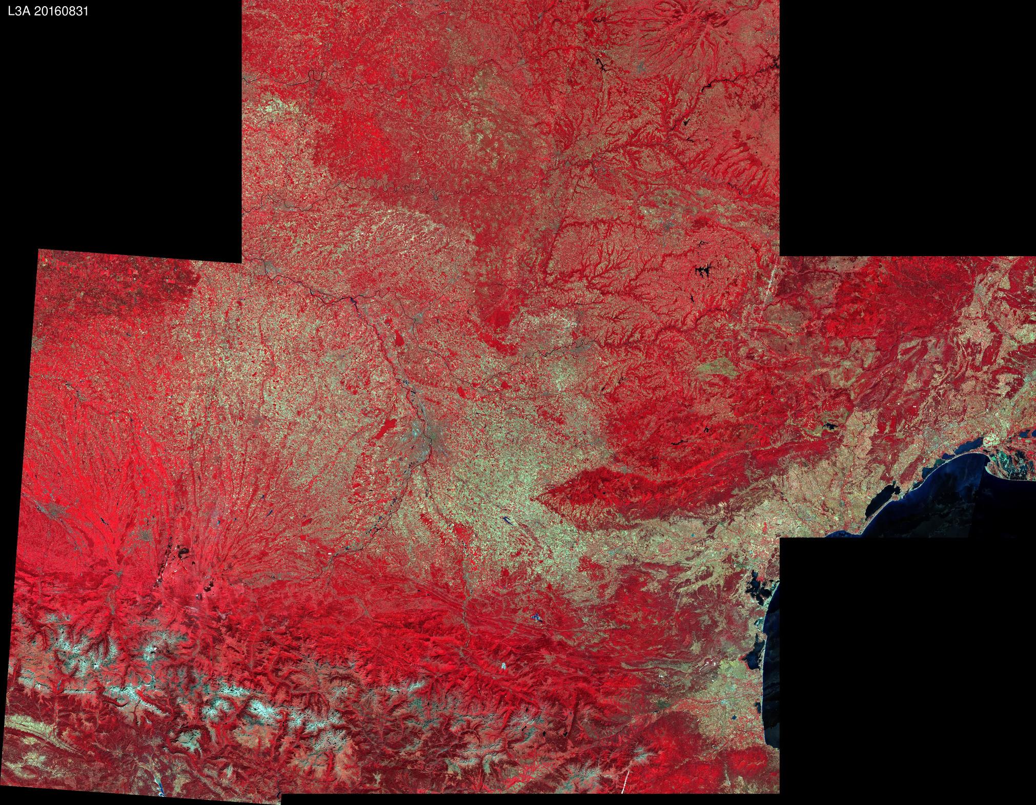
The system was developed by C-S company, in France and Romania. It may be downloaded from sen2agri platform, or from Sen2Agri github platform. It is a free software. You will also need to download the MACCS atmospheric correction software from CNES. During the past year, the consortium processed or helped users processing data on 3 countries and 12 demonstration sites (such as our site in Occitanie, France below). The users seemed mostly happy with the results, but gave us constructive feedback and proposals that we will try to integrate in future versions.
 Surface reflectance monthly synthesis of August over Occitanie, France Surface reflectance monthly synthesis of August over Occitanie, France |  Cropland mask accuracy improvement along the season Cropland mask accuracy improvement along the season |


