The DLR starts distributing Sentinel-2 L2A products produced with MAJA over Germany
A good news for German users of Sentinel-2 data !
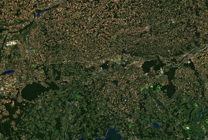
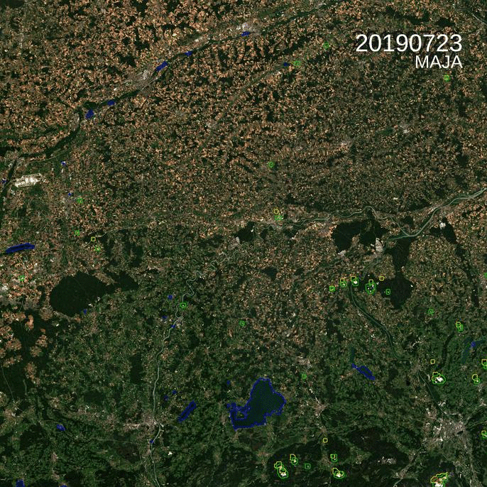
You might have already read on this blog that the German Aerospace Center, DLR became a member of MAJA development team in 2016. For instance, they provided the nice cirrus correction method. One of the team objectives was also to implement MAJA within DLR’s CATENA production facility, and we are very happy to announce that it worked ! The DLR team has been processing all the images acquired by Sentinel-2 over Germany with MAJA for some time now and they just started to make them available, freely and very easily. The animation below shows, for instance, a few of the images available over the east of Munich, in Bavaria for summer 2019.
The dataset is described here. The service is easily accessed without any registration: the data sets are stored geographically per tile, and then temporally per year and month. The root of the product tree is : https://
For instance, to view the L2A images, just go to the browser : https://geoservice.dlr.de/web/maps/sentinel2:l2a:maja and search by date on the map.
The image format is the same as for the products generated by Theia, as a result, the same software will be able to work across the French German border.
Many thanks to our colleagues from DLR, Pablo d’Angelo, and Stefan Auer who took this implementation in charge. They are also planning to deliver monthly cloud three syntheses (Level 3A products) using WASP, and Pablo already started working on it.