SapienSapienS et le CNES nous expliquent l’observation de la terre
Le CNES a confié à la société SapienSapienS la réalisation de belles vidéos pour le grand public, qui expliquent de manière très didactique, et en moins de 5 minutes, différentes thématiques d’observation de la terre. Trois d’entre-elles font la part belle aux travaux du CESBIO, et je suis très fier d’avoir contribué à la première (mais la créativité vient de SapienSapienS). Thierry Koleck et Stephane Mermoz (Globeo) ont contribué à la seconde, et Philippe Maisongrande (un ancien du CESBIO, maintenant au CNES) a suivi la réalisation de la cinquième. Vous trouverez les liens d’accès ci-dessous (ou sur la chaine Youtube du CNES) :
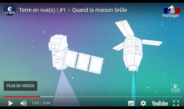
- L’observation solaire en optique (spectre solaire réfléchi) : « Quand la maison brûle », avec Sentinel-2 et Pleiades (et je ne suis pour rien dans le choix de démarrer avec Jacques Chirac).
- L’observation radar, avec Sentinel1 et TropiSCO: « Quand il fait noir »
- L’altimétrie marine avec SWOT : « Quand la mer monte »
- L’hydrologie continentale avec SWOT (et un peu de SMOS) : « Quand les plantes sèchent et les rivières débordent »
- L’imagerie thermique (TRISHNA) et l’eau dans les plantes (un peu de SMOS, et les cartes OSO) : « Quand les plantes souffrent »