Sentinel-1

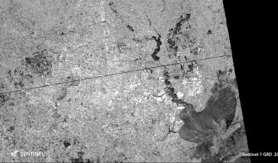
Flooded areas in Houston by Sentinel-1

Hurricane Harvey hit Texas on August 25. The first Sentinel-1 image of Houston since landfall was acquired on Aug 29 at 00:26 UTC. I’m writing this post at 21:09 UTC. As reported by the local news website chron.com « The most severe flooding is around the Highway 90 and Eastgate areas ». This is also what we […]

29.08.2017

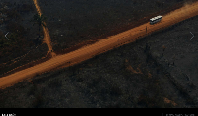
Les Sentinels témoins de la déforestation en Amazonie

Le Monde.fr a publié un reportage frappant « Au Brésil, avec les policiers qui luttent contre la déforestation de l’Amazonie« . Le journaliste et photographe Bruno Kelly a suivi les agents de l’institut pour l’environnement et les ressources naturelles renouvelables (Ibama) dans les environs d’Apui, une petite localité isolée au sud de l’état d’Amazonas. Il écrit que […]

23.08.2017

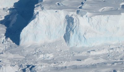
Watching ice shelves break up with Sentinel-1

The animation below shows the evolution of Thwaites glacier eastern ice shelf in West Antarctica, from July 2016 to May 2017. I made it with 45 quicklooks of Sentinel-1 radar images processed by the Alaska Satellite Facility and available via the vertex data portal. All images were acquired in interferometric wide swath mode (polarization HH, […]

01.06.2017

New version of PEPS (French Sentinel mirror site)

As you probably know, PEPS is the French Collaborative ground segment for Copernicus Sentinel program. And, first of all, it is a mirror site that distributes all the Sentinel data in near real time. These last weeks, real time was not available for Sentinel-2, as the data format and structure of Sentinel-2 products had deeply […]

03.02.2017

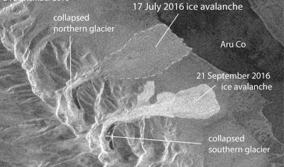
Scientists anticipate another glacier collapse in Tibet from satellite data

The giant ice avalanche that occurred in Tibet on 17 July 2016 and killed 9 people [1] urged scientists to scrutinize every available data to understand what caused such a glacier collapse. In doing so, they witnessed in near real time the ongoing collapse of a second glacier.

29.09.2016

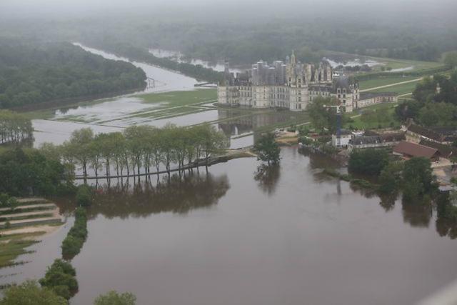
Chambord flooding: An update to « Mapping flooded areas using Sentinel-1 in Google Earth Engine » from Simon

Short after working with Simon on the script for the  article about the mapping of flooded areas, I wanted to be sure that our short script was realistic. I had some time to loose at the airport, so, after finding a wifi connection, I looked for pictures of the flooded areas of the north of […]

02.09.2016

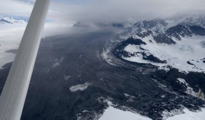
Mapping the Glacier Bay landslide using Sentinel-1 and Sentinel-2

Dave Petley wrote a nice article in the AGU’s Landslide blog about a massive landslide in Glacier Bay, Alaska. This huge avalanche of debris was spotted by a local pilot Paul Swanstrom on June 28. When Paul was above it, « dust was still flying ». Later, based on earthquake records in Alaska, the experts figured out […]

19.07.2016

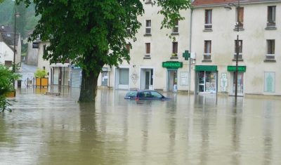
Mapping flooded areas using Sentinel-1 in Google Earth Engine

Exceptional rainfall in May caused heavy flooding in the Paris region. Newspapers and TVs reported that the Seine flood forced the Louvre staff to move away from rising waters the art pieces that were stored in their cellar. But they did not tell you that about 50 km east of the Louvre museum, the flood […]

10.06.2016

Réfléchissez deux fois avant d’utiliser Google Earth Engine

=> L’une des tendances que l’on pouvait observer au Living Planet Symposium 2016, est l’utilisation croissante de Google Earth Engine. Pour ceux qui ne connaissent pas encore, Google met à disposition des utilisateurs de données de télédétection une plate-forme avec grosse puissance de calcul, bibliothèques et l’accès aux  données ouvertes, dont celles de LANDSAT et […]

06.06.2016

Rechercher