Sentinel-1

S1-Tiling, on demand ortho-rectification of Sentinel-1 images on Sentinel-2 grid

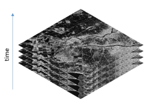
=> Sentinel-1 is currently the only system to provide SAR images regularly on all lands on the planet. Access to these time series of images opens an extraordinary range of applications.In order to meet the needs of a large number of users, including our needs, we have created an automatic processing chain to generate « Analysis […]

30.01.2019

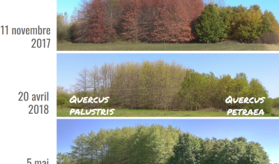
Différence de phénologie des chênes.

4 thèses en cours à Toulouse pour étudier les forêts tempérées par télédétection

Le pôle toulousain de recherche publique en télédétection est surtout connu sur la thématique forestière grâce à la mission BIOMASS, qui sera lancée vers 2021 et qui est portée par le CESBio, mais qui concerne surtout les forêts tropicales. L’objectif de cet article est de présenter les travaux en cours sur les forêts tempérées, dans […]

S1Tiling : ortho-rectification à la demande des données Sentinel-1 sur la grille Sentinel-2

=>​ Sentinel-1 est actuellement le seul système à fournir des images SAR régulièrement sur toutes les terres de la planète. L’accès à ces séries temporelles d’images ouvre un champ d’application hors du commun. Afin de répondre aux besoins d’un grand nombre d’utilisateurs, dont les nôtres, nous avons créé une chaîne de traitement automatique permettant de […]

Xe-Namnoy lake dam failure

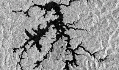
[This post was written by Simon Gascoin and Sylvain Ferrant] The Lao News Agency reported that the Xe-Pian Xe-Namnoy dam collapsed on Monday causing catastrophic flash floods. « The disaster has claimed several human lives [and] left hundreds of people missing, » the agency reported. Construction of the Xe-Pian Xe-Namnoy dam began in 2013. Commercial operations were […]

24.07.2018

Speed-up downloads from PEPS S2 mirror site with peps_download.py

The French Sentinel mirror site, PEPS, has a very clever data management facility. All the products are stored on tapes, with a capacity of several PB, and there is some sort of cache made of disks. The products accessed recently are on disks, while the other products stay on tapes. The storage costs and also […]

23.03.2018

From Multitemp blog to Nature Geoscience

You probably remember Simon Gascoin’s story about the Aru glacier avalanches, which started from Simon’s observations of the twin avalanches using the Sentinels. It was one of the big buzz pages of the blog in 2016. The first images were published here, then spread out in many scientific websites and the social networks.  It seems […]

24.01.2018

Soil moisture maps at a high resolution over Occitania region

=> Translated from Theia website.The Theia forges just released a new product based on Sentinel-1 and 2 data. Le « High resolution soil moisture » Scientific Expertise Center, driven by Nicolas Baghdadi, from Tetis lab in Montpellier and Mehrez Zribi from CESBIO, distributes Soil Moisture maps from the French Occitania region at 20 m resolution, produced every […]

30.09.2017

Des cartes d’humidité du sol à haute résolution en Occitanie

=>Article rédigé à partir des articles du site Theia.Les forges de Theia viennent de mettre à disposition un nouveau produit basé sur les données Sentinel 1 et 2. Le CES “Humidité du sol à très haute résolution spatiale”, animé par Nicolas Baghdadi, du laboratoire Tetis à Montpellier et Mehrez Zribi du CESBIO, propose des cartes […]

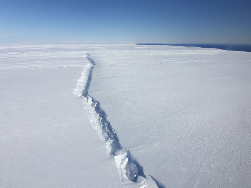
Deux gros glaçons quittent l’Antarctique

L’Antarctique sort à peine de sa torpeur hivernale que déjà deux évènements majeurs viennent de se produire sous l’œil de Sentinel-1.  Le 12 juillet dernier, une crevasse géante à fendu la barrière de glace Larsen C [1], mais il a fallu attendre que la banquise desserre son étau en septembre pour que l’iceberg A68 commence […]

25.09.2017

Rechercher