From Multitemp blog to Nature Geoscience

You probably remember Simon Gascoin’s story about the Aru glacier avalanches, which started from Simon’s observations of the twin avalanches using the Sentinels. It was one of the big buzz pages of the blog in 2016. The first images were published here, then spread out in many scientific websites and the social networks. 
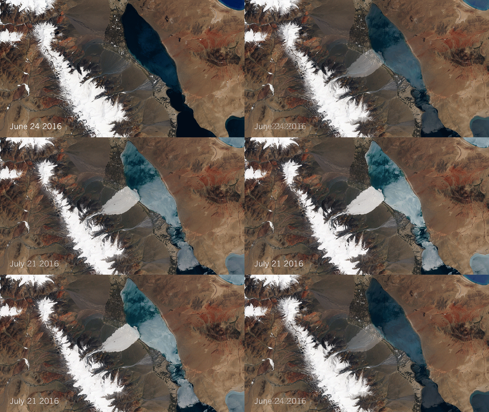
It seems that the story finally made its way to Nature Geoscience, after a large work from many scientists lead by Andreas Kaab.  Congratulations to all the team ! So, dear CESBIO colleagues, or remote sensing time series users, it is time to submit your work to this blog as a first step to future publications in Nature 😉 !  

Plus d'actualités

Capturing the Diurnal Cycle of Urban Overheating with ECOSTRESS data

The successive heat waves of the summer of 2026 remind us of the urgent need to take action to adapt to episodes of extreme heat that are set to become more frequent, intense, and occur earlier in the year. In this context, the urban heat island effect emerges as a major problem. Indeed, cities, as […]

Évolution journalière de la température de surface en ville : apport du capteur ECOSTRESS

Les canicules successives de cet été 2026 nous rappellent l’urgence d’agir pour s’adapter à des épisodes de chaleur extrême appelés à devenir plus fréquents, intenses et précoces. Dans ce contexte, la surchauffe urbaine apparaît comme un problème majeur. En effet, les villes, telles qu’elles sont construites aujourd’hui, présentent des températures plus élevées de plusieurs degrés […]

Near real time snow cover maps in the Copernicus Browser!

Copernicus provides near real time snow cover maps at 20 m resolution (fractional snow cover, code name: FSC OG). These products have been recently reprocessed and are now available through the Copernicus Data Space Ecosystem (CDSE) API and visualization tool, the Copernicus Browser! The latter is very useful to explore the data, for example if […]

Rechercher