Satellite Missions

SPOT(Take5) talks and posters at Living Planet Symposium

The SPOT(Take5) project had a one day session at the living planet symposium ! If it looked nice when we decided it, it turned out that it was not a true good idea. Most of the LPS 2016 sessions were thematic sessions (forest, agriculture, coasts, inland waters…), while the SPOT (Take5) sessions were jumping from […]

22.06.2016

Mapping flooded areas using Sentinel-1 in Google Earth Engine

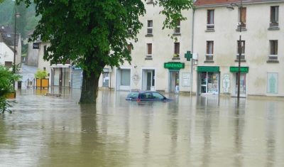
Exceptional rainfall in May caused heavy flooding in the Paris region. Newspapers and TVs reported that the Seine flood forced the Louvre staff to move away from rising waters the art pieces that were stored in their cellar. But they did not tell you that about 50 km east of the Louvre museum, the flood […]

10.06.2016

MACCS qualified for Atmospheric Correction Euro and World Cup

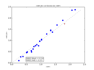
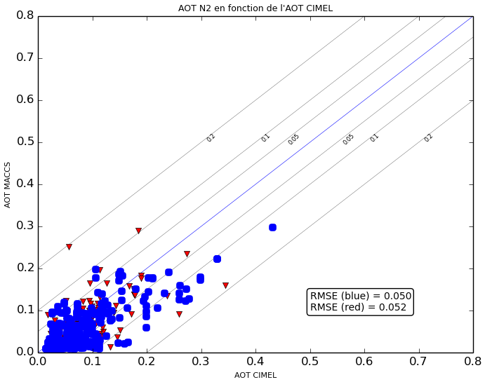
Don’t worry, I have not been converted to a football fan, it is still giving me allergies ! But after a post about sex ratio, we are still trying to increase the amount of connexions to this blog. However, the title of this post is partly true, since, simultaneously, we are engaged to two competitions to […]

09.06.2016

SPOT4 (Take 5) special issue is now complete

The last time I showed this post on the front page, in March, I thought the special issue about SPOT4 (Take5) was complete, but we were lacking a paper about snow cover, which came a little late, but still on time to join the special issue. The paper by Jean-Pierre Dedieu and colleagues was just […]

07.06.2016

Réfléchissez deux fois avant d’utiliser Google Earth Engine

=> L’une des tendances que l’on pouvait observer au Living Planet Symposium 2016, est l’utilisation croissante de Google Earth Engine. Pour ceux qui ne connaissent pas encore, Google met à disposition des utilisateurs de données de télédétection une plate-forme avec grosse puissance de calcul, bibliothèques et l’accès aux  données ouvertes, dont celles de LANDSAT et […]

06.06.2016

THEIA distribue aussi les données LANDSAT8 L2A sur les régions d’outre mer.

Depuis deux ans déjà, le centre de données THEIA distribue des produits de niveau 2A issus des données LANDSAT 8 acquises au dessus de la France (métropole et Corse), mais il manquait encore les territoires et régions d’outre mer. Ce manque vient d’être comblé, le retard a été rattrapé, et depuis hier, sur toute la France […]

27.05.2016

3 years of Landsat L2A data above France available at THEIA

=> The MUSCATE processing centre at CNES, which belongs to French THEIA land data centre, produces and distributes all the Landsat 8 data acquired above France at Level 2A. Level 2A products contain surface reflectances after atmospheric correction, and a very good cloud mask.  LANDSAT 8 first routine data had been acquired on April 13th […]

25.05.2016

3 ans de données LANDSAT8 N2A sur la France mises à disposition par Theia

=>Le centre de traitement prototype MUSCATE du CNES, pour le compte de THEIA, continue à produire au niveau 2A et a distribuer les données LANDSAT 8 acquises au dessus de la France. Les produits de niveau 2A fournissent des réflectances de surface, après correction des effets atmosphériques, accompagnées d’un très bon masque de nuages.  Les […]

New game : spot the artefacts in S2A L2A mosaics

=> The validation of MUSCATE, CNES ground segment to process Sentinel-2 data,  and MACCS (our L2A software) is going on, in order to start processing Sentinel-2A data at level 2A soon (in a few weeks…). A previous post compared MACCS cloud masks with those of Sen2cor. For this one, time series have been generated for […]

23.05.2016

Rechercher