New game : spot the artefacts in S2A L2A mosaics
The validation of MUSCATE, CNES ground segment to process Sentinel-2 data, and MACCS (our L2A software) is going on, in order to start processing Sentinel-2A data at level 2A soon (in a few weeks…). A previous post compared MACCS cloud masks with those of Sen2cor. For this one, time series have been generated for 4 sites, and on each site, 4 sentinel-2 tiles were processed. As MACCS processes tiles independently, there is a risk of having discrepancies when merging the tiles in one image. However, this risk is low, as MACCS does not estimate a constant aerosol optical thickness (AOT) per tile but produces AOT images for each tile. Since it uses the same data in the overlap region of each tile, the results should be quite alike in each tile. However, because the AOT is smoothed on each tile, some differences may still exist. So, we decided to check, and produced some of mosaics which are shown below. Each image of 210×210 km2 is made from 4 tiles of 110*110km2 which overlap by 10 km. They have been subsampled for a quicker display. I let you find the artifacts, as I didn’t find them… These artifacts would appear as vertical or horizontal lines in the middle of the images. Should you like to repeat the same experiment with a different atmospheric correction, my code snippet (using gdal and imagemagick) is available here.
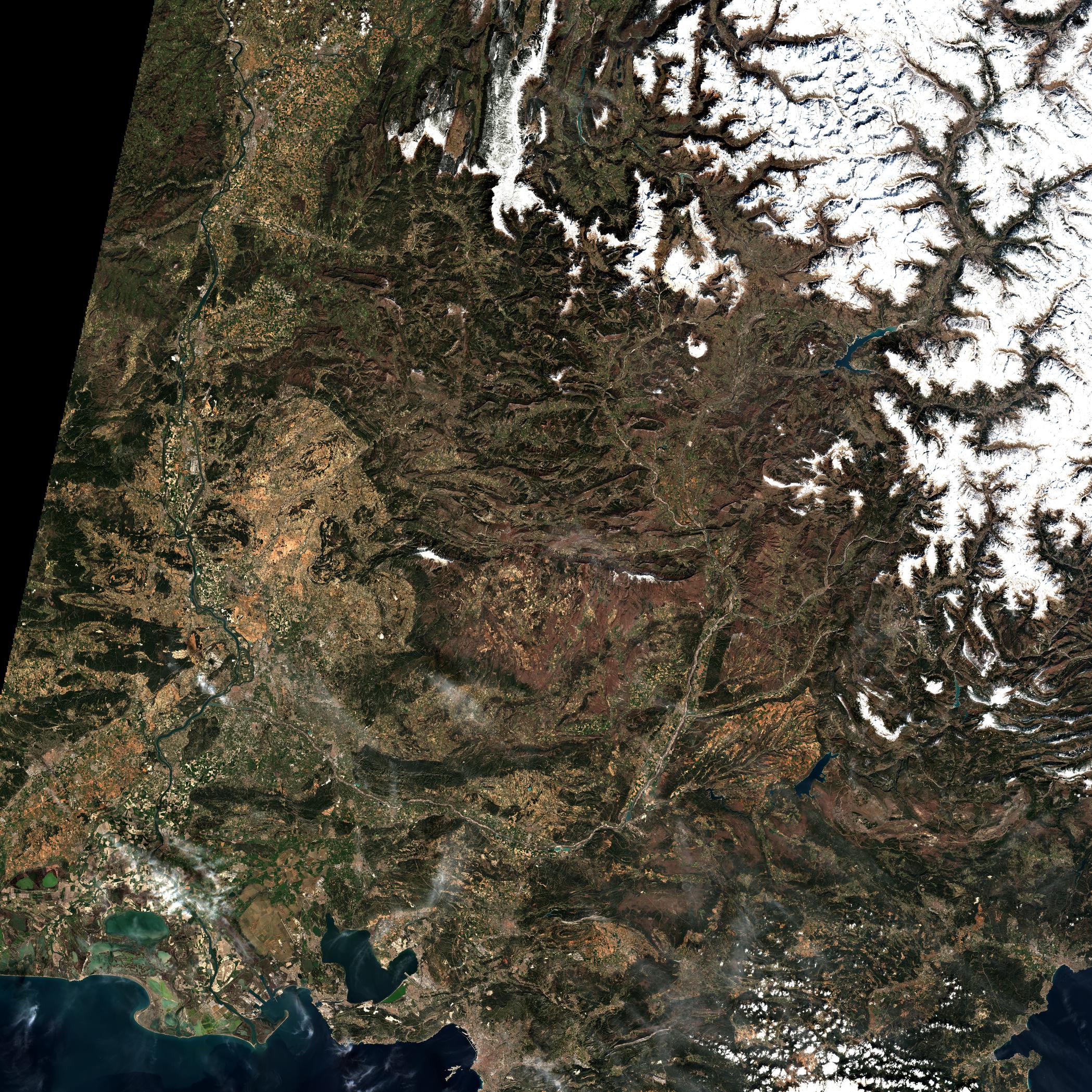

Middle East, Jourdain Valley, Sinai, 2016/04/06(Copernicus/ESA/CNES/CESBIO)
On this image, the diagonal, highly visible in the North West corner, is not an artefact of MACCS, it is the border between Egypt and Israel.
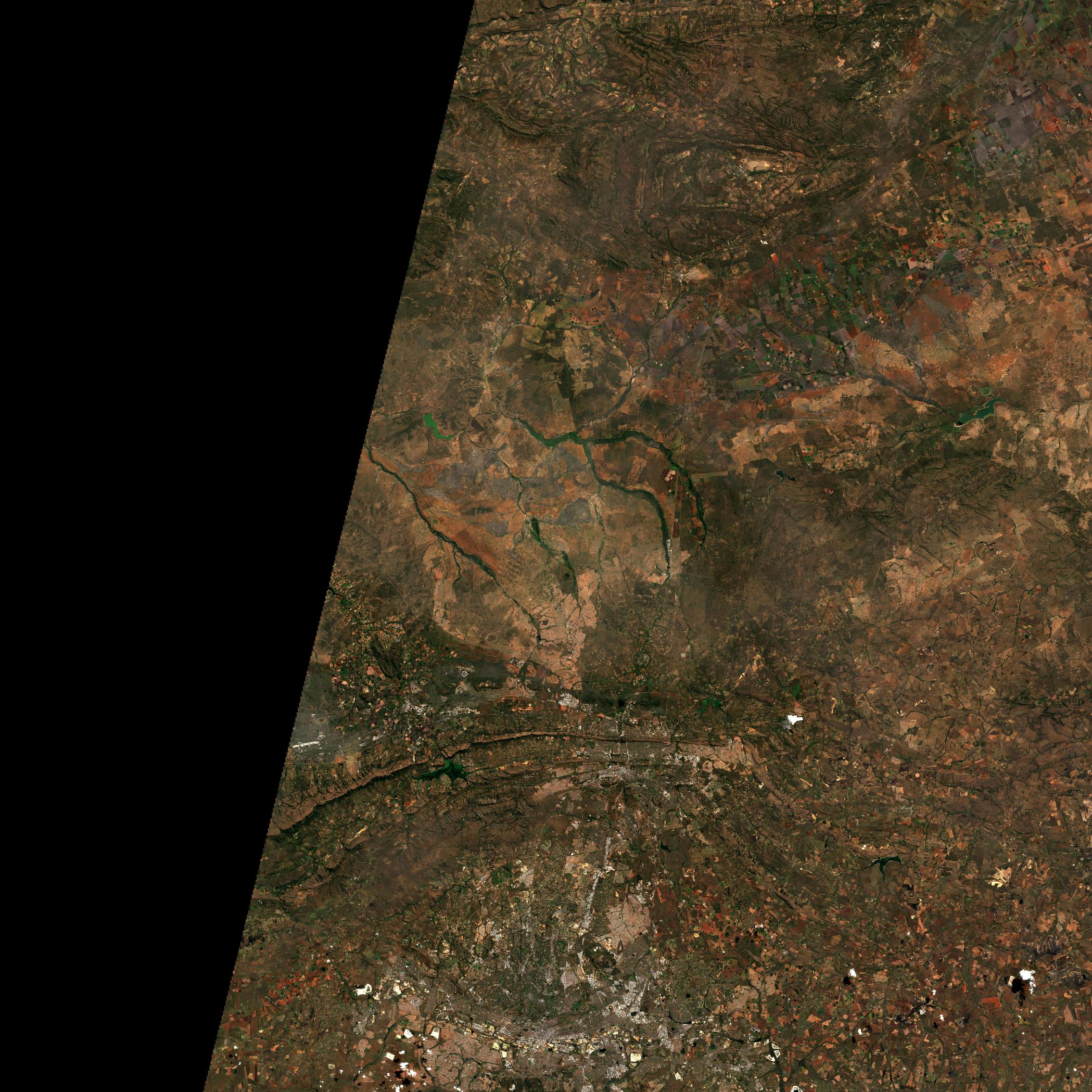
If the Atlas mountains look strangely flat on this image, it is because MACCS corrects for the illumination differences due to terrain. But if you plan to climb the Toubkal (4167m), be sure it is not flat and that MACCS will not help you.

(Wikipedia photograph, not mine…)

And finally, maybe did you see the African « cloudless mosaic » released by ESA from Sentinel-2 images. Well indeed, it shows very well the acquisition potential of Sentinel-2 but if you dislike artefacts… don’t zoom !
It is only level 1C, not corrected from atmospheric effects, without any cloud detection, remaining clouds are not flagged, it is just a NDVI maximum composite. Not very useful… except for press releases.
(Copernicus/ESA/Brockmann/UCL)