SPOT4 (Take 5) special issue is now complete

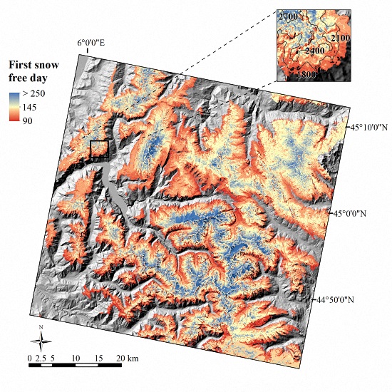
The last time I showed this post on the front page, in March, I thought the special issue about SPOT4 (Take5) was complete, but we were lacking a paper about snow cover, which came a little late, but still on time to join the special issue. The paper by Jean-Pierre Dedieu and colleagues was just released :
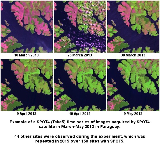
14 papers have finally been published in the SPOT4 (Take5) special issue in MDPI remote sensing. As this journal is an open access journal, all the papers may be accessed from the special issue webpage.
- Operational products validation (L1C and L2A), guess who wrote it !
- Directional effects modeling (M.Claverie et al)
- Gap filling of cloud affected data
- The Sentinel-2 project products validation using SPOT4 (Take5)
- Land cover (crop type) operational production method, tested on 12 different sites within Sen2Agri project
- Land cover (crop type) classification method based on bio-physical variables
- Land cover (crop mask) classification when field work is not possible
- Dynamic Land cover (crop mask) classification when field data are available
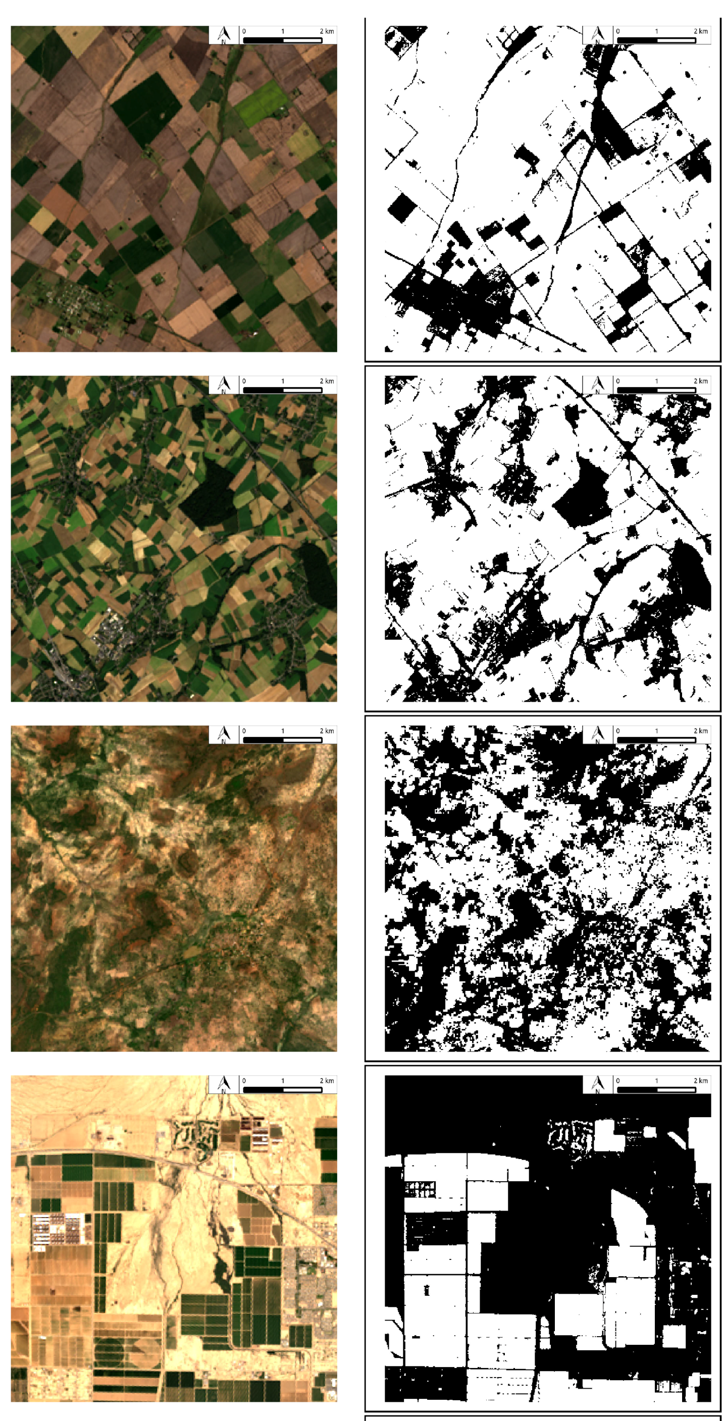
- Valero, S.; Morin, D.; Inglada, J.; Sepulcre, G.; Arias, M.; Hagolle, O.; Dedieu, G.; Bontemps, S.; Defourny, P.; Koetz, B. Production of a Dynamic Cropland Mask by Processing Remote Sensing Image Series at High Temporal and Spatial Resolutions. Remote Sens. 2016, 8, 55.
- Biophysical variables
- LAI, fAPAR and fCOVER estimates and validation
- Validation of a forage production index
- Irrigation
- Biodiversity
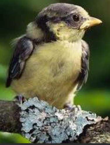
- Szulkin, M.; Zelazowski, P.; Marrot, P.; Charmantier, A. Application of High Resolution Satellite Imagery to Characterize Individual-Based Environmental Heterogeneity in a Wild Blue Tit Population. Remote Sens. 2015, 7, 13319-13336.
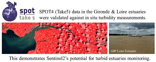
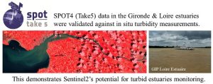
- Monitoring of suspended particle matter in the water of estuaries
- Gernez, P.; Lafon, V.; Lerouxel, A.; Curti, C.; Lubac, B.; Cerisier, S.; Barillé, L. Toward Sentinel-2 High Resolution Remote Sensing of Suspended Particulate Matter in Very Turbid Waters: SPOT4 (Take5) Experiment in the Loire and Gironde Estuaries.Remote Sens. 2015, 7, 9507-9528.
 Hagolle, O.; Baret, F. A Generic Algorithm to Estimate LAI, FAPAR and FCOVER Variables from SPOT4_HRVIR and Landsat Sensors: Evaluation of the Consistency and Comparison with Ground Measurements. Remote Sens. 2015, 7, 15494-15516.