HR TIR DA IRL (High Resolution Thermal Infra-Red Directional Anisotropy In Real Life)
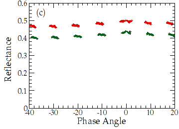
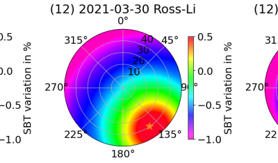
=> Dans le cadre de la préparation de la mission Trishna, une question importante concerne la nécessité de corriger les effets directionnels dans les images, ainsi que la méthode à appliquer. Certains d’entre vous sont sans doute familiers de l’effet dit de « hotspot » dans le domaine réflectif, qui a été bien illustré sur notre blog. […]