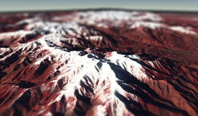
Canigou 3D
Lo Canigó és una magnòlia immensaque en un rebrot del Pirineu se bada- Jacint Verdaguer i Santaló The Canigó is an immense magnoliathat blooms in an offshoot of the Pyrenees
Lo Canigó és una magnòlia immensaque en un rebrot del Pirineu se bada- Jacint Verdaguer i Santaló The Canigó is an immense magnoliathat blooms in an offshoot of the Pyrenees
Since spring 2017, we have made the MAJA cloud screening and atmospheric correction processor available for commercial use. A bit later, end of June, the Sen2agri software package, which includes MAJA older version (named MACCS) , was also released to the public. We did not expect a large success, as these two packages are quite […]
I have always wanted to provide an Algorithm Theoretical Basis Document related to MAJA, but never had time, because I always had more urgent things to do. Some papers had been published, allowing MAJA users to get a good idea or the methods we use, but the published articles did not cover all the features […]

=> The main difficulty of the atmospheric correction comes from the determination of the aerosols optical properties: one has to know the optical properties of the aerosol type present in the atmosphere and determine their optical thickness. Using Sentinel-2 data to determine the aerosol type is very complicated, and our MAJA processor, used to generate […]

Version française par ici. The land surface models simulate the water and energy fluxes between soil, land cover and atmosphere. Their scopes of application spread from numerical weather prevision to soil water modeling. However, these models are initially conceived to be applied on wide areas. Thus, they use low resolution cover parameters (>1km) derived from mid-resolution […]
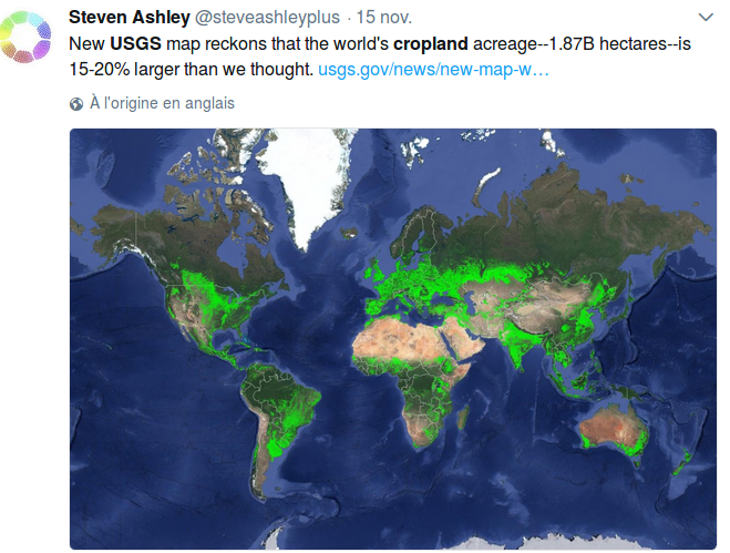
Criticizing is easy, and doing is hard, especially when trying to create a global map of croplands. Some collegues from CESBIO have worked on that subject within the Sen2Agri project, and obtained good resuts, but only at the local or country scale. Finding a method that works everywhere must clearly be much harder.These days, I […]
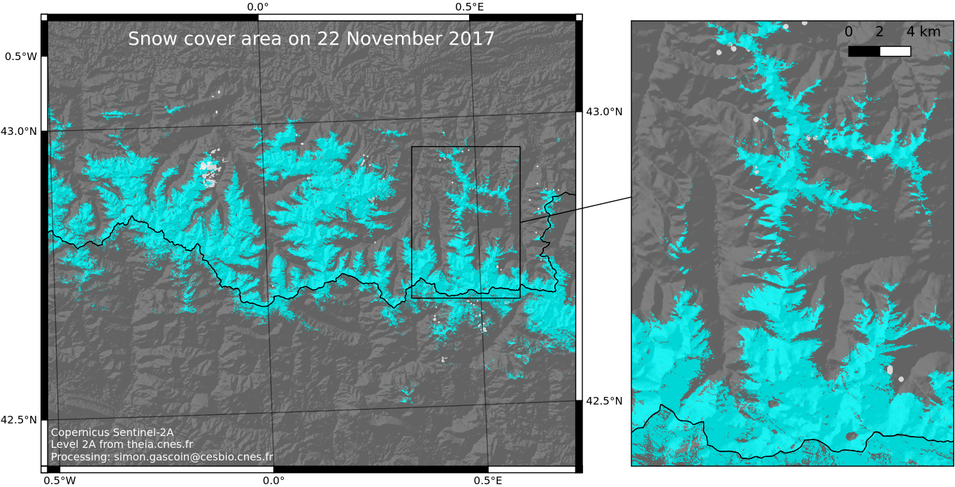
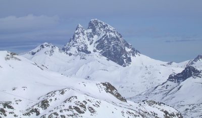
Olivier pointed to me that ESA’s ground segment, PEPS and MUSCATE were all in really good shape today… And the sky was clear yesterday at the time of the Sentinel-2A acquisition! So I could download the Level-2A product from theia.cnes.fr, run our let-it-snow processor, start QGIS and here it is: the map of yesterday’s snow […]
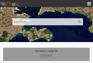
Since it became operationnal in December last year, MUSCATE has produced 50 000 level 2A products from Sentinel-2A. Let’s recall what has been processed so far : See full screen Map of the 650 tiles currently processed in near real time (in red). The blue tiles will be added beginning of next year. All […]
The Cesbio contributes to the Pyrenees Climate Change Observatory (OPCC) through the analysis of the snow cover evolution using satellite imagery. We are working on three remote sensing products in the framework of the CLIM’PY project: