In English

Persistent snow cover area in the Alps

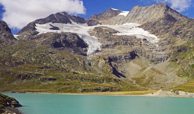
These maps show the area that remained covered by snow from May 01 to Sep 01 over the past three years. It was computed from Theia Sentinel-2 snow products at 20 m resolution to capture the smallest snow patches.   In average there are about 1300 km2 (Lake Geneva: 680 km2) which remain snow-covered until […]

12.12.2019

20 m resolution snow maps, why bother?

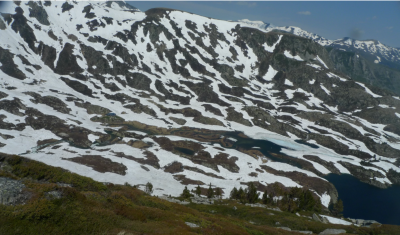
« Snow varies. » (Snow scientist proverb) Sentinel-2 enables to generate snow maps at 20 m spatial resolution. But what’s the use of such high resolution snow maps? Because one picture is worth a thousand words, I resampled some Sentinel-2 images of snow-covered regions to coarser resolutions using the average reflectance of the contributing pixels. I did […]

05.12.2019

How to find the closest snow to you?

If you live in Pamiers near Toulouse, France, where is the snow-covered place that is the fastest accessible by car or by bike? There is a beautiful snow map of the Pyrenees mountains near Pamiers from a Sentinel-2 image that was acquired yesterday (at the time of writing) [link to the data]. In QGIS with […]

21.11.2019

Theia starts producing Sentinel2 L3A products over Maghreb

=> Since October 2019, the Theia land data center started producing monthly cloud free and almost seamless syntheses, using Sentinel-2 data acquired on the Maghreb coastal regions, from Agadir to Djerba, passing through Rabah, Alger and Tunis. These syntheses, also called Level3A products, will be delivered every month, thans to the WASP processor, which was […]

19.11.2019

[Theia/MUSCATE] CNES cluster offline for two days

There will be no production within MUSCATE, or using the on-demand MAJA tool on PEPS, until wednesday 6th of November, as CNES HPC cluster is off for two days. An hardware and software upgrade is taking place. Il n’y aura pas de production dans MUSCATE, ou pour MAJA à la demande sur PEPS les 5 […]

05.11.2019

The flow of Pine Island Glacier in Antarctica as seen by Sentinel-1

The clip below shows the evolution of Pine Island glacier ice tongue in West Antarctica, from June 2017 to October 2019. I made it with 111 quicklooks of Sentinel-1 radar images processed by the Alaska Satellite Facility and available via the vertex data portal. All images were acquired in interferometric wide swath mode (polarization HH, […]

For your eyes only, New Caledonia monthly cloud free synthesys.

=> I will probably never go to New Caledonia, as the plane trip would spoil my carbon budget for the next 10 years. But I just had the chance to admire it from 700 km above sea level, thanks to the monthly Level 3A cloud free syntheses produced by Theia with Sentinel-2 data. As I […]

31.10.2019

It has never been so easy to obtain Sentinel2 L2A data processed with MAJA.

Sentinel-2 L2A products (with a good cloud mask and atmospheric correction) are produced by THEIA using the MAJA software on approximately 1000 different tiles. But this is only a small part of our big world, and we do not want to let the users alone to deal with Sen2cor poor cloud masks, outside Theia production […]

28.10.2019

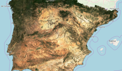
[NEW !] Time series of Sentinel-2 monthly syntheses in Spain

=>  As announced a few months ago, our monthly synthesis processor for Sentinel-2 data, WASP, has been integrated to THEIA’s land data center processing facility at CNES, in spring 2019. We are therefore now extending the zones where we process the monthly synthesis (the so-called Level-3A products). After France, the first countries that we added […]

23.10.2019

Rechercher