For your eyes only, New Caledonia monthly cloud free synthesys.

=>

I will probably never go to New Caledonia, as the plane trip would spoil my carbon budget for the next 10 years. But I just had the chance to admire it from 700 km above sea level, thanks to the monthly Level 3A cloud free syntheses produced by Theia with Sentinel-2 data. As I am not selfish, here is a link to visualize the mosaic of these images obtained for the month of August 2019. For once, I made the mosaic at 10 meters resolution, and it’s worth it.

If you look closely, you will find some artefacts on this cloudy region, but most of them are above water, and sadly over the magnificent lagoon. Our method has been designed to work on lands, but is somewhat degraded above water becuase water colours change very fast with time. to know more about our methodology please see this post.
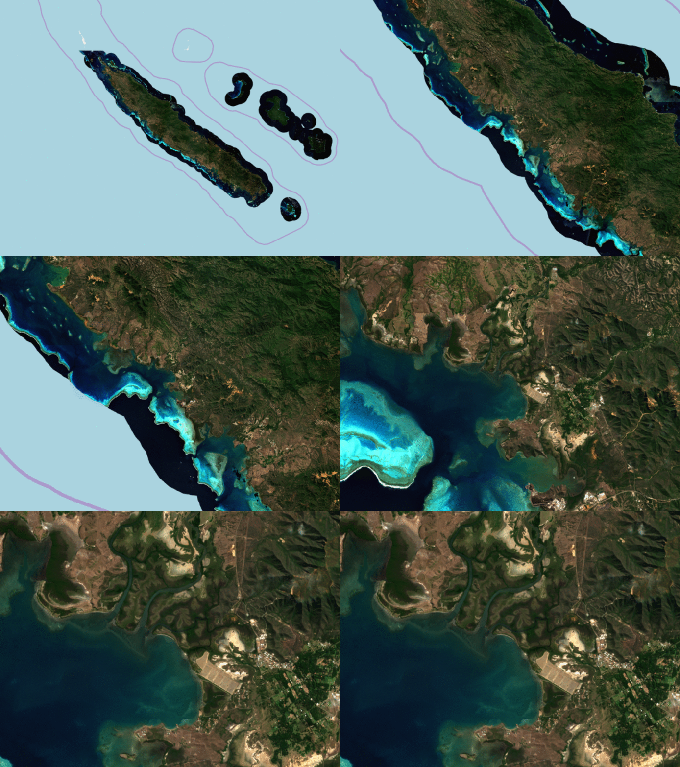
 

A little zoom on the Heart of Voh


To start visiting New Caledonia, click on the image below. I am taking the risks to make you want to go to New Caledonia, but, I will not accept to take charge of your carbon budget.
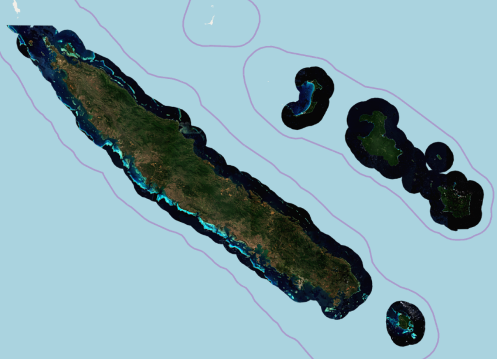
Cliquez sur l’image pour visiter la Nouvelle-Calédonie


Crossing New Caledonia from West coast to East coast

Plus d'actualités

How long is the cooling effect of a cloud shadow ?

How long does it take for the cannon barrel to cool down after firing a shell ? Fernand Raynaud This quote is from a famous old French funny sketch by Fernand Raynaud, which was based on a question in a French manual for soldiers: the sketch is rather long, so I’ll give you the answer […]

Impact of the August 12, 2026 eclipse on photovoltaic electricity generation in Spain

Photovoltaic (PV) energy supplies more 20% of Spain’s total electricity, and this share hit a new high in July 2026 (28.3% of the nation’s monthly electricity mix). Some media outlets were concerned about the drop in photovoltaic power generation during the 12-Aug-2026 eclipse. Le Monde explained that « the drop is expected to be particularly pronounced […]

Near real time snow cover maps in the Copernicus Browser!

Copernicus provides near real time snow cover maps at 20 m resolution (fractional snow cover, code name: FSC OG). These products have been recently reprocessed and are now available through the Copernicus Data Space Ecosystem (CDSE) API and visualization tool, the Copernicus Browser! The latter is very useful to explore the data, for example if […]

Rechercher