iota2

Iota2 can also do regression

Iota2 is constantly evolving, as you can check at the gitlab repository. Bugs fix, documentation updates and dependency version upgrade are done regularly. Also, new features are introduced such as the support of Landsat 8 & 9 images, including thermal images, or for what concerns us in this post, the support of regression models. In […]

29.01.2024

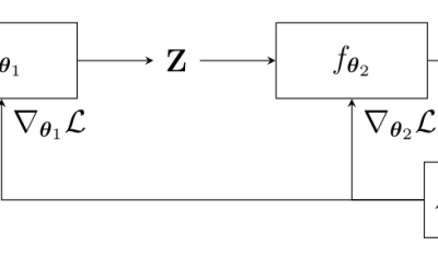
End-to-end learning for land cover classification using irregular and unaligned satellite image time series

The results presented here are based on published work : V. Bellet, M. Fauvel, J. Inglada and J. Michel, « End-to-end Learning For Land Cover Classification Using Irregular And Unaligned SITS By Combining Attention-Based Interpolation With Sparse Variational Gaussian Processes, » in IEEE Journal of Selected Topics in Applied Earth Observations and Remote Sensing, doi: 10.1109/JSTARS.2023.3343921. This […]

19.01.2024

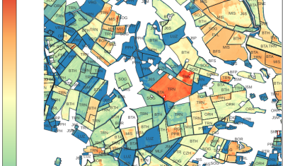
Iota2 ne fait pas que de la classification, elle produit aussi des indicateurs environnementaux !

Contexte scientifique Le projet SOCCROP, qui a été financé par l’association Planet A, avait pour objectif de développer un indicateur pour quantifier les échanges annuels de CO2 entre les parcelles cultivées et l’atmosphère. Mesurer les flux permet d’accéder à l’évolution des stocks de carbone des sols agricoles. Cet indicateur peut être utile dans différents contextes […]

13.09.2023

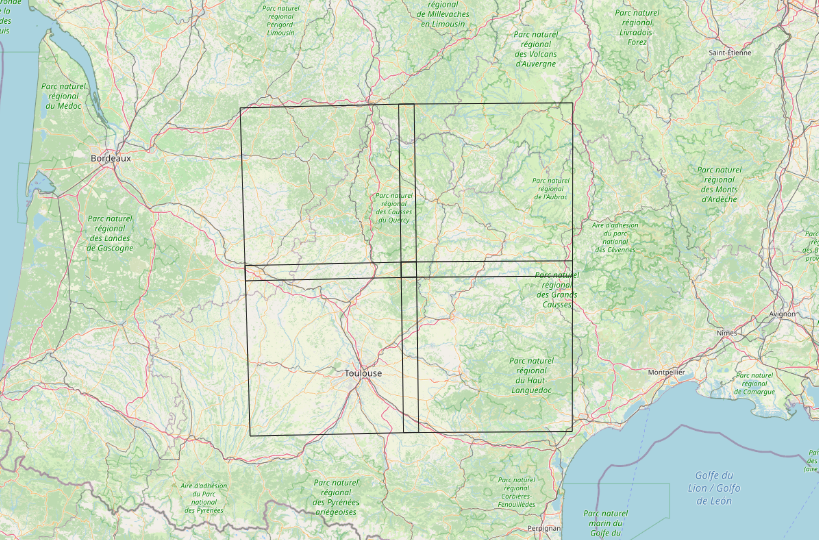
Iota2 latest release – Deep Learning at the menu

‎ Table of Contents 1. New iota2 release 2. Classification using deep learning 2.1. Material 2.1.1. Satellite image time series 2.1.2. Preparation of the ground truth data 2.1.2.1. Sub data set 2.1.2.2. Clean the ground truth vector file 2.2. Configuration of iota2 2.2.1. Config and ressources files 2.2.2. Iteration over the different sub ground truth […]

16.09.2022

Formation iota2 pour les CES Theia

Ce mercredi 6 juillet, le CESBIO a accueilli les membres de différents CES Theia pour une formation au logiciel Iota². Ce logiciel open-source permet le traitement des séries temporelles issues des missions Sentinel. Cette formation a été organisée dans le cadre du projet CNES TOSCA PARCELLE qui  vise à soutenir le développement de Iota2. Quinze […]

08.07.2022

Sentinel-2 also sees grassland taxonomic diversity !

Sentinel-2 image time series are widely used to map land cover, see for instance here or here. However, they can be used to extract other relevant information about the observed landscapes. In a recently published article (https://doi.org/10.1016/j.rse.2019.111536), we have used fifteen months of Sentinel optical and radar data to predict taxonomic and functional diversity at […]

20.12.2019

Rechercher