Code

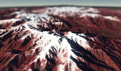
Khumbu icefall in 4D

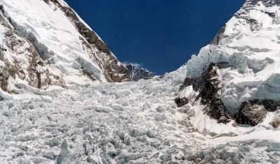
This video shows all available Venµs images since launch over the Khumbu icefall near Mt Everest (109 images). The images are RGB composites of Level 1C bands 7,4,3 (5 m resolution) that were draped onto the HMA 8m DEM.   How to do that? First download the Venµs images using theia_download.py, extract the region of […]

13.10.2019

Upgrade of let-it-snow to compute the fractional snow cover

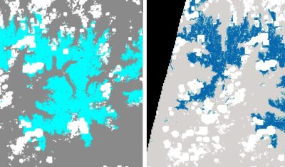
In preparation for the next Pan European high resolution snow and ice monitoring service, I have upgraded the let-it-snow (LIS) processor to enable the computation of the fractional snow cover (FSC) within the pixel. So far LIS was only used to compute a « binary snow mask » (in fact ternary: snow, no-snow, cloud). However, the EEA […]

12.09.2019

S1-Tiling, on demand ortho-rectification of Sentinel-1 images on Sentinel-2 grid

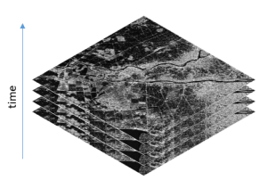
=> Sentinel-1 is currently the only system to provide SAR images regularly on all lands on the planet. Access to these time series of images opens an extraordinary range of applications.In order to meet the needs of a large number of users, including our needs, we have created an automatic processing chain to generate « Analysis […]

30.01.2019

S1Tiling : ortho-rectification à la demande des données Sentinel-1 sur la grille Sentinel-2

=>​ Sentinel-1 est actuellement le seul système à fournir des images SAR régulièrement sur toutes les terres de la planète. L’accès à ces séries temporelles d’images ouvre un champ d’application hors du commun. Afin de répondre aux besoins d’un grand nombre d’utilisateurs, dont les nôtres, nous avons créé une chaîne de traitement automatique permettant de […]

Speed-up downloads from PEPS S2 mirror site with peps_download.py

The French Sentinel mirror site, PEPS, has a very clever data management facility. All the products are stored on tapes, with a capacity of several PB, and there is some sort of cache made of disks. The products accessed recently are on disks, while the other products stay on tapes. The storage costs and also […]

23.03.2018

Using NDVI with atmospherically corrected data

NDVI NDVI is by far the most commonly used vegetation index. NDVI was developed in the early seventies (Rouse 1973, Tucker 1979), and widely used with remote sensing in the nineties until now. It is computed from the surface reflectance in the red and near infra-red channels on each side of the red-edge.  where and […]

04.02.2018

Canigou 3D

Lo Canigó és una magnòlia immensaque en un rebrot del Pirineu se bada- Jacint Verdaguer i Santaló   The Canigó is an immense magnoliathat blooms in an offshoot of the Pyrenees  

23.12.2017

New version of PEPS (French Sentinel mirror site)

As you probably know, PEPS is the French Collaborative ground segment for Copernicus Sentinel program. And, first of all, it is a mirror site that distributes all the Sentinel data in near real time. These last weeks, real time was not available for Sentinel-2, as the data format and structure of Sentinel-2 products had deeply […]

03.02.2017

(Enfin !) Téléchargement par script des produits de niveau 2A de Sentinel-2 de Theia

=>La production des données de niveau 2A de Sentinel-2 se poursuit au CNES, mais un peu moins vite que prévu pour le moment.  Nous avons connu un jour faste pendant lequel 600 tuiles ont été produites, mais le rythme de production a souvent été plus lent : nous avons  résolu progressivement de petites anomalies et […]

13.12.2016

Rechercher