Bezymianny volcano ash trail

For Christmas Sentinel-2 offered us this nice picture of the Bezymianny volcano ash trail. Bezymianny is located in the central part of the Klyuchevskaya cluster of volcanoes in the Kamachatka peninsula. The image was acquired on Christmas eve but the ash plume was observed on 20 December.

Bezymianny volcano on 24-Dec-2017 by Sentinel-2

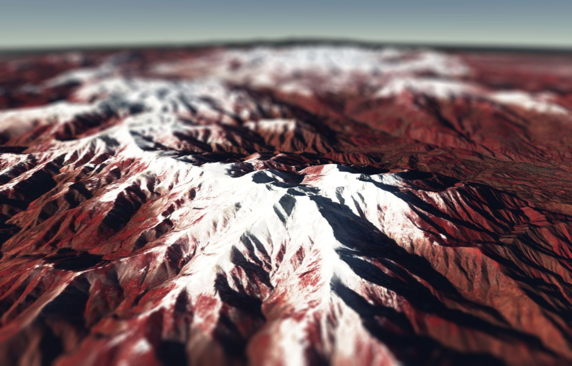
It will be interesting to check later the impact of this ash trail on the snow cover. Ashes are « light-absorbing impurities » which accelerate melt by increasing the absorption of energy in the snowpack (the mechanisms are well explained by Tuzet et al. 2017). However, as noted by Biagio Di Mauro, if the ash layer on the snow cover is thick enough, it could also slow down the melt by insulating the snowpack from the heat brought by the atmosphere when the temperature will rise…NB) J’espère qu’Olivier ne va pas m’en vouloir car ce n’est pas une série temporelle… Mais c’était une belle occasion d’illustrer les vues 3D de Sentinel-2 avec Cesium!edit on 03 Jan 2018 Today’s Sentinel-2 image shows that the ash trail has disappeared…

What happened to Bezymianny between Dec 24 and Jan 03?

The historical snowfall data at the neighboring town of Klyuchi, Kamchatka from meteoblue indicates that it has been covered by a recent snow fall.

Snow fall at Klyuchi (model outputs from meteoblue)


A similar event happened between May 02 and May 03 in the Karymsky volcano, located 225 km in the south and was captured by Sentinel-2. Even the ash plume from the crater is visible:


Plus d'actualités

BIOMASS, the third launched satellite mission designed at CESBIO !

After SMOS in 2009, and VENµS in 2017, the CESBIO laboratory is very proud to see its third proposed mission, Biomass, reach orbit. As always, it has been a long journey from the idea, at the beginning of the century, to the selection in 2013 as the seventh Earth Explorer Mission by ESA, to the […]

Sentinel-2 reveals the surface deformation after the 2025 Myanmar earthquake

Sentinel-2 captured several clear-sky images of Myanmar before and after the 28 March 2025 earthquake. The animation below shows a 5-day apart sequence of images captured by Sentinel-2B and Sentinel-2C (10 m resolution) near the epicenter located close to Mandalay. The surface slip due to the earthquake follows the Sagaing Fault, a major fault in […]

Evolution de l’altitude de la ligne de neige au cours des 41 dernières années dans le bassin versant du Vénéon (Oisans)

Pour contribuer à caractériser les conditions hydrométéorologiques lors de la crue torrentielle qui a frappé la Bérarde en juin, j’ai analysé une nouvelle série de cartes d’enneigement qui couvre la période 1984-2024 [1]. Grâce à la profondeur temporelle de cette série, on constate que l’altitude de la ligne de neige dans le bassin versant du […]

Rechercher