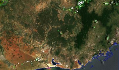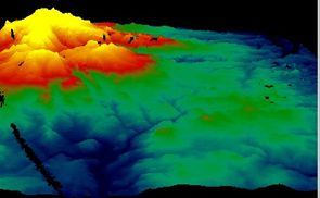
Estimate terrain elevation from a single pass of VENµS satellite and monitor its evolution over time
A single VENµS acquisition is sufficient to estimate the terrain elevation of a scene thanks to the so-called « native stereo » technique. One of the main missions of VENµS, the Franco-Israeli satellite launched in August 2017, is to carry out acquisitions over more than a hundred scientific sites around the world. Its resolution at 5.3 m […]