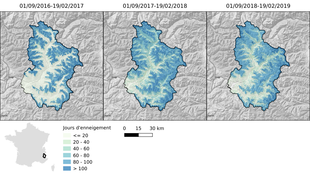
A pause in MUSCATE production, end of February
The MUSCATE production centre will be offline for a week from February 25th to March 4th (or maybe the week after, please see Theia’s RSS feed to see the exact date). This pause will be necessary to upgrade the processing centre to V2.5. As a result, we will not be able, for a week, to process Sentinel-2 data in real time, and hope it will not be too inconvenient to you. In case you need some data urgently, you can ask PEPS to produce MAJA L2A data for you during that period. The main change regards the internal format used by MUSCATE for Sentinel-2 Level 2A products. This internal format is different from the external format that we distribute, and this results in unnecessary product format conversions, as well as the necessity to develop drivers for the various formats (internal and external) for the processors that use Sentinel-2 L2A data within MUSCATE. To enable this modification, it will be necessary to convert all the L2A data from the internal format to the external format, which will take a whole week. MUSCATE V2.5 will bring other improvements, such as the integration of MAJA 3.1, with possibility to use Copernicus Atmosphere data, or a new version of LIS, the processor that delivers the snow maps.MUSCATE V2.6 is also ready and queuing to be installed, with MAJA 3.2, WASP and the possibility to process Venµs L2A data within MUSCATE and not externally on Venµs ground segent.


