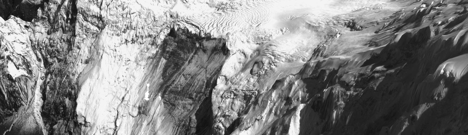
Clear-sky Pléiades acquisition of the Rasuwa landslide source area
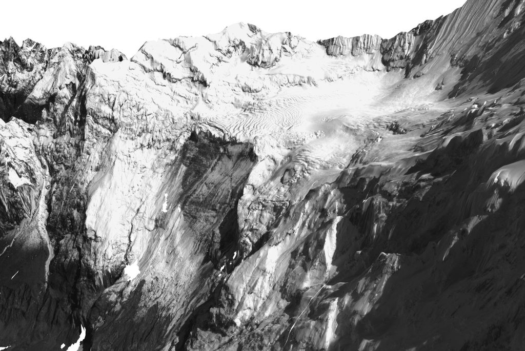
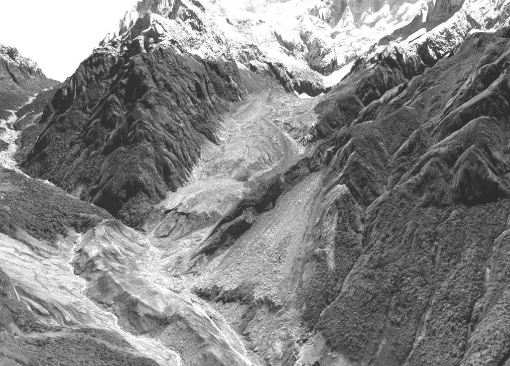
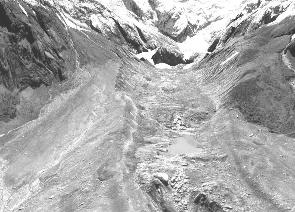
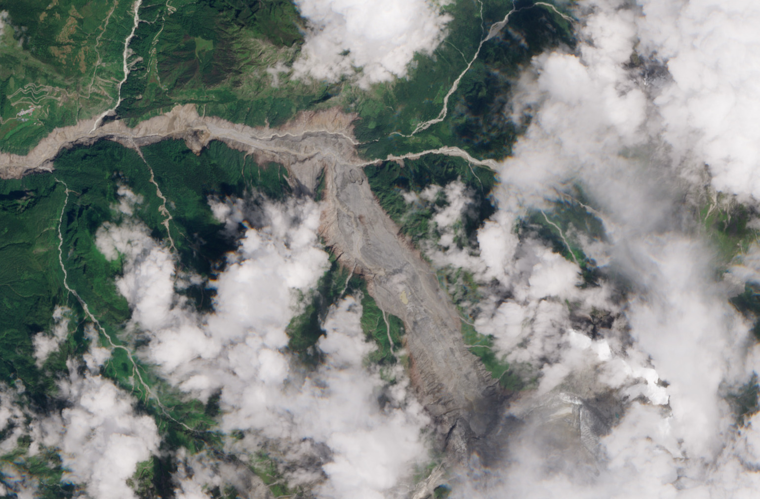
After many attempts, CNES’s Pléiades satellites finally captured a clear-sky view of the source area of the devastating flood in Nepal. The stereoscopic acquisition enables the generation of a high-resolution DEM and consequently a geometrically accurate orthorectified image.
Although I’m not involved in the scientific analysis, I could not resist taking a closer look at this spectacular image. I’m sharing here a few 3D visualisations of the panchromatic image. These pictures show the landslide scar near the glacier and the huge sediment deposits in the proglacial valley.
The images were acquired as part of an ongoing acquisition request led by Kristen Cook and Étienne Berthier to provide scientific insights into this dreadful event (CIEST2).