
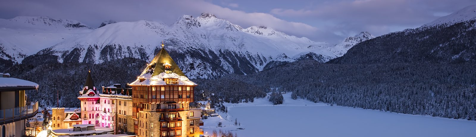
The odds to find snow in St. Moritz
Did you know that the St. Moritz Casino is the highest in Switzerland? If you like gambling, I have a little game for you: what are the odds to find snow near St. Moritz?
Fortunately, I just finished the processing of 218 Sentinel-2 dates from 2015-Dec-04 to 2018-Apr-10 of tile 32TNS with our let-it-snow processor. I did this off-line production for a colleague because, as of today, Theia only distributes the snow products after July 2017 in this region of Switzerland (see the available products here). A quick way to check the output is to compute a snow cover probability map: that is, for each pixel, the number of times that snow was observed divided by the number of times that the snow could be observed.
To compute this map we just need to know that the Theia snow products (LIS_SEB.TIF raster files) are coded as follows:
0: No-snow 100: Snow 205: Cloud including cloud shadow 254: No data
Here is a piece of script to do this:
#!/bin/bash
# initialize snow.tif with zeros
# store in Byte because we have less than 255 dates
f0=$(find . -name LIS_SEB.TIF | head -1)
gdal_calc.py --overwrite -A $f0 --type=Byte --calc=A*0 --outfile=snow.tif
# accumulate snow pixels in snow.tif
for f in $(find . -name LIS_SEB.TIF)
do
# snow is coded with 100
gdal_calc.py --overwrite -A $f -B snow.tif --type=Byte --calc="B+(A==100)" --outfile=snow.tif
done
# now do the same for clear.tif
# init
gdal_calc.py --overwrite -A $f0 --type=Byte --calc=A*0 --outfile=clear.tif
# accumulate clear pixels in clear.tif
for f in $(find . -name LIS_SEB.TIF)
do
# only snow and no snow are coded with values lower than 101
gdal_calc.py --overwrite -A $f -B clear.tif --type=Byte --calc="B+(A<101)" --outfile=clear.tif
done
# Finally compute the snow probability in % (100.0* makes the calculation in float)
gdal_calc.py -A snow.tif -B clear.tif --type=Byte --calc="(100.0*A)/B" --outfile=snowProba.tif
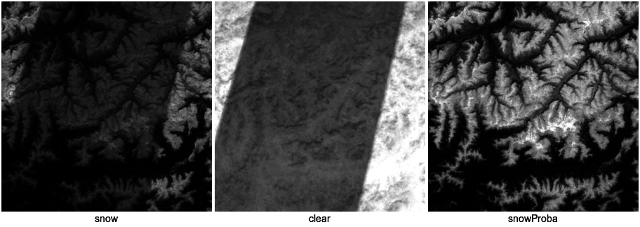
This is the output:
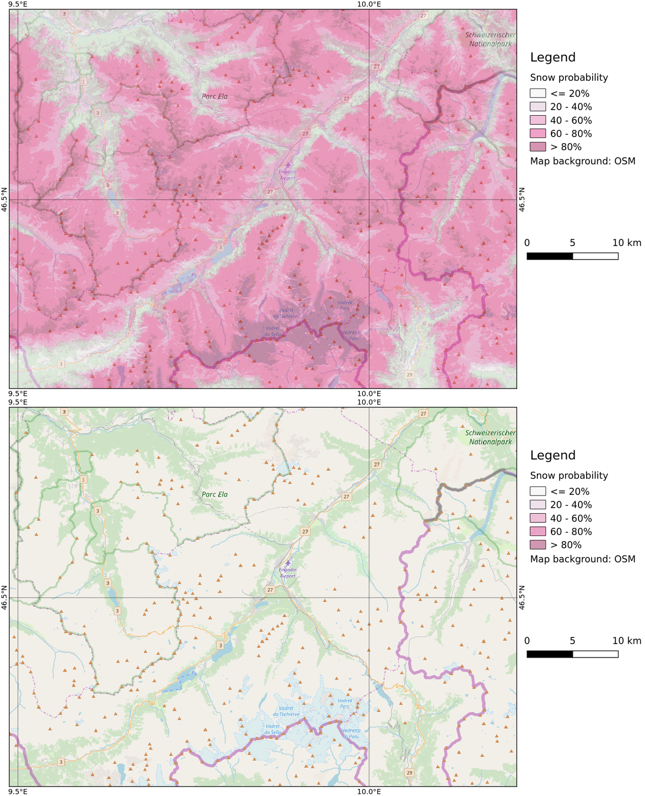
From which you can map the odds to find snow near St. Moritz (click on the image to animate)!

