[MUSCATE news] Early Sentinel-2B L2A images over France are available
 =>
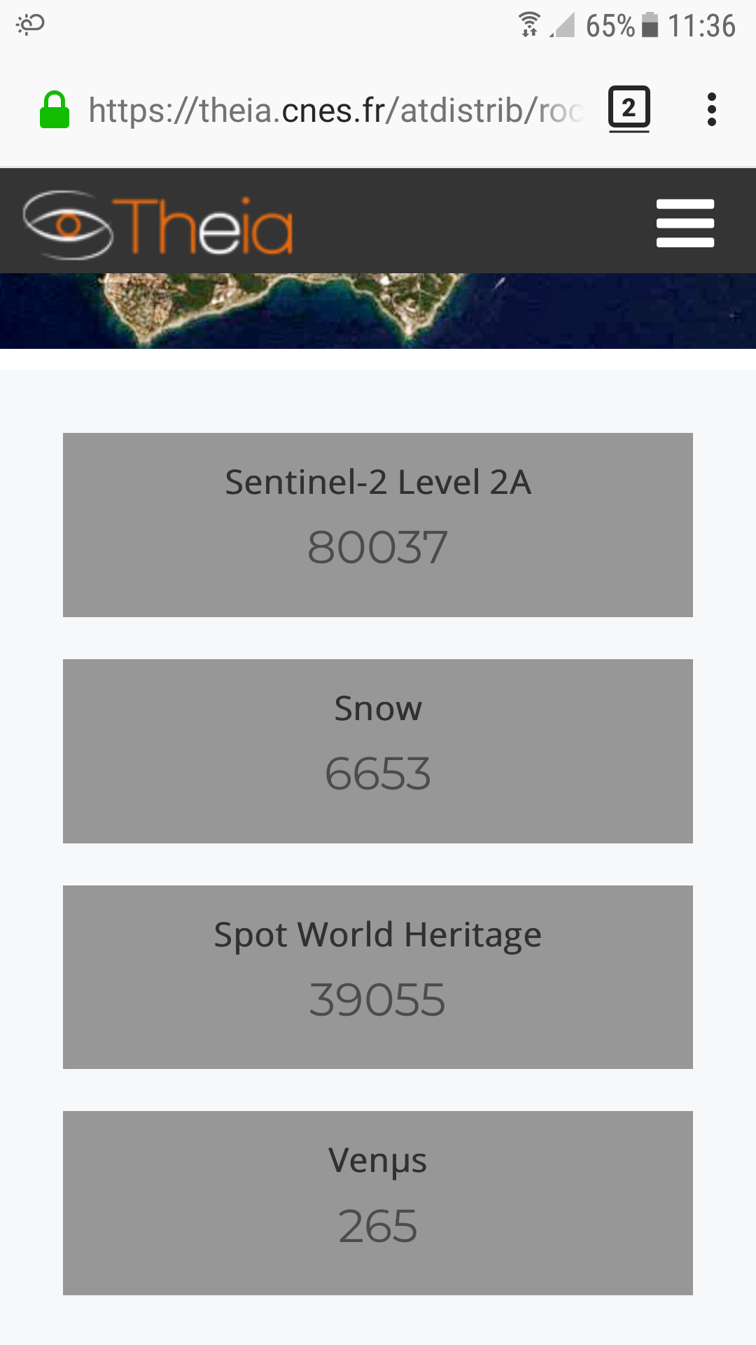
=>  MUSCATE sentinel-2 L2A counter just reached 80000 products, but a lot more products were processed these past weeks. Indeed, the MUSCATE team started processing the early Sentinel-2B images acquired from July to October 2017, which were missing on our catalog. Indeed. We only started Level 2A treatments in October 2017, in real time (a bit late, but before the ESA;)). We take advantage of this processing to reprocess Sentinel-2A data, since the quality of the products from MAJA improves with the repetitiveness of the observations. And since we replace old versions with new ones (v 1.7), the product counter is not affected by the reprocessing of S2A data. The reprocessing of data on France and its overseas territories is finished, and the treatment of the other European zones is in progress. We will continue soon with the African zones then those of the rest of the world. If you are using the Sentinel-2 data acquired in the second half of 2017, we encourage you to download them again. We took advantage of this reprocessing to also produce snow products in the France area.