
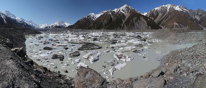
Summer in the Southern Alps by Venµs

Venµs is a French-Israeli satellite mission which captures high resolution multi-spectral images every two days over selected sites. The Theia land data center is kind enough to provide L2A images (bottom-of-atmosphere), which can be easily downloaded by batch (see this tutorial). Here I selected all the images of a site near Mount Cook in the Southern Alps of New Zealand from 01 Dec 2018 to today.
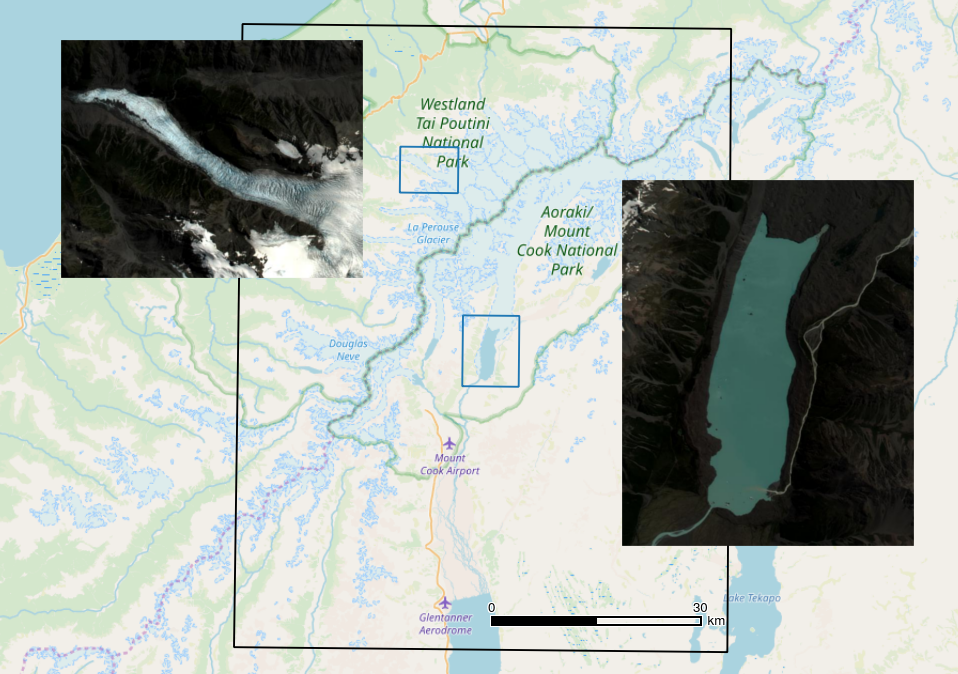
The Southern Island is a really cloudy place but thanks to the 2-day revisit time of Venµs we can see many things that happened during this austral summer. Like the fast flowing Fox Glacier…
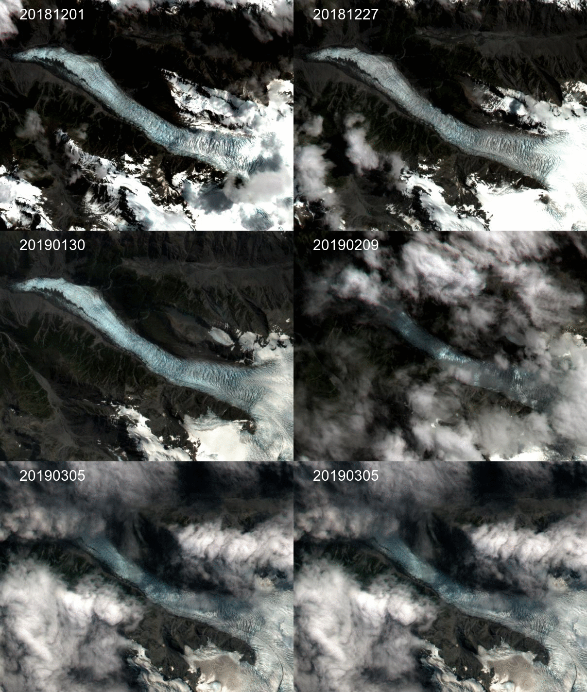
Fox Glacier from 01 Dec 2018 to 05 Mar 2019 by Venµs

Or the gradual color change of Lake Tasman, suddenly disrupted by the release of ice chunks from Tasman glacier tongue!

Lake Tasman from 01 Dec 2018 to 05 Mar 2019 by Venµs

The 5m resolution L1C products clearly show the calving of the Tasman glacier and destabilization of the lake bank:

Today the CNES and the Israel Space Agency (ISA) announced that the coverage of Venµs will be extended from 108 sites to 123.


 

Plus d'actualités

How long is the cooling effect of a cloud shadow ?

How long does it take for the cannon barrel to cool down after firing a shell ? Fernand Raynaud => This quote is from a famous old French funny sketch by Fernand Raynaud, which was based on a question in a French manual for soldiers: the sketch is rather long, so I’ll give you the […]

Impact of the August 12, 2026 eclipse on photovoltaic electricity generation in Spain

Photovoltaic (PV) energy supplies more 20% of Spain’s total electricity, and this share hit a new high in July 2026 (28.3% of the nation’s monthly electricity mix). Some media outlets were concerned about the drop in photovoltaic power generation during the 12-Aug-2026 eclipse. Le Monde explained that « the drop is expected to be particularly pronounced […]

Near real time snow cover maps in the Copernicus Browser!

Copernicus provides near real time snow cover maps at 20 m resolution (fractional snow cover, code name: FSC OG). These products have been recently reprocessed and are now available through the Copernicus Data Space Ecosystem (CDSE) API and visualization tool, the Copernicus Browser! The latter is very useful to explore the data, for example if […]

Rechercher