Sentinel-2

[Directional effects] how far can we extend Sentinel-2 field of view ? Conclusions

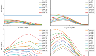
  This is the final post of a series of studies we did to find out how far we can extend the field of view of next generation of Sentinel-2 satellites. I hope I did not lose most readers in the length of the previous posts. For the readers who land on this page, which […]

08.07.2020

[Directional effects] simple BRDF normalization

Introduction To perform a correction of directional effect, directional models are required. A large number of directional models have been developed, such as the ones of Roujean [1] or Ross-Li [2], that try to reproduce the directional variations as a function of viewing angles and solar angles, with a rather good accuracy for most types […]

07.07.2020

Impact du COVID-19 sur la pelouse du Centre Spatial de Toulouse

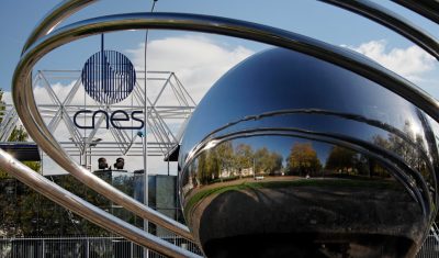
Le CNES a publié sur LinkedIn ces jolies photos du Centre Spatial de Toulouse après le confinement. Grâce aux satellites d’observation de la Terre, les ingénieurs du CNES sont capables d’étudier la végétation aux quatre coins du globe. Mais, les cordonniers sont souvent les plus mal chaussés… Pourraient-ils étudier leur propre pelouse par satellite ? […]

26.06.2020

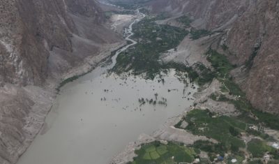
Debris flow in the Ishkoman Valley

In July 2018, the Pamir Times has reported that a lake formed due to a debris flow in the Ishkoman Valley, Pakistan. This event caused the destruction of dozens of housed in Badswat and Bilhanz villages. The flood debris running down the slope hit the mountain on the opposite side, and formed a barrier, blocking […]

23.06.2020

Towards a composite of the most recent clear-sky observations from the Theia Snow collection

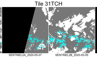
We are thinking of a new « live » product which would allow anyone to display the most recent snow observations from Sentinel-2 in a web browser. This service would simply display a composite of the latest Theia Snow products over a given time window (e.g. the past 20 days). This can be easily coded thanks to […]

20.05.2020

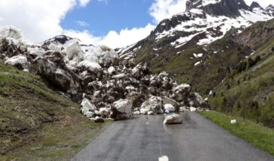
Détection de la neige sur les routes avec Sentinel-2

France Bleu nous signale une impressionnante avalanche en Savoie près du Col du Glandon qui bloque la route Départementale 927. Les cartes d’enneigement distribuées par Theia permettent d’évaluer la présence de neige sur les routes de montagne grâce à leur haute résolution (pixel de 20 m). Une carte qui date du 09 mai (soit deux […]

12.05.2020

Lucky Sentinel-2 still can visit Italia, Spain and Portugal

That’s unfair ! Sentinel-2 is a lucky satellite who still can visit Spain, Italy or Portugal every 5th day, while we are locked at home. Thanks to the hard work and good organisation at ESA (for the Level-1 products) and CNES (for the advanced L2A and L3A products), I have been able to generate mosaics […]

22.04.2020

Le désherbage chimique est-il visible depuis l’espace ?

Quand on se balade à la campagne (c’était surtout avant le Covid-19…), ça pique toujours un peu les yeux de voir dans les champs, ces « mauvaises herbes » (ou  adventices pour les intimes) devenues toutes rousses, presque du jour au lendemain. C’est pas que je n’aime pas les rousses, mais je préfère quand même […]

03.04.2020

Madagascar, the new zone processed by MAJA and WASP for Theia

=>  Here it comes ! Following numerous demands, we found ressources to add the great island of Madagascar to the list of zones processed by Theia. The processing with MAJA started a few days ago, with the data acquired in December 2016 by Sentinel-2. The start was only slightly delayed by the current lockdown in […]

23.03.2020

Rechercher