Orpaillage sur le fleuve frontalier entre la Guyane et le Suriname : télédétection des dommages causés par les barges aux rives du Maroni
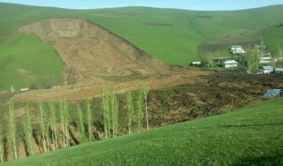
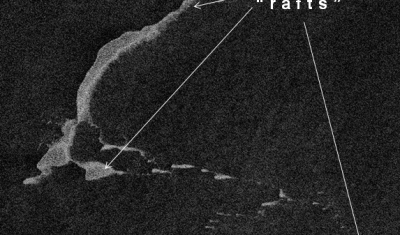
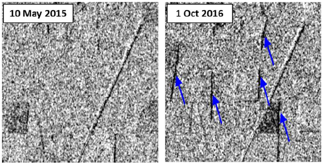
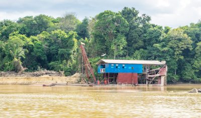
Le Suriname, comme l’ensemble du plateau des Guyanes, est touché depuis plus de trente ans par le fléau de l’orpaillage qui entraîne la destruction du couvert forestier, la pollution des cours d’eau, en impactant fortement l’environnement et les population locales. L’orpaillage y est dit primaire quand l’or est directement extrait de la roche-mère, alors qu’il […]