Fin de la phase d’acquisitions d’images de VENµS
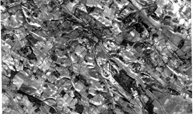
=> C’est avec une certaine tristesse mais aussi beaucoup de fierté que je vous rappelle que la phase opérationnelle de VENµS se terminera fin juillet après 7 ans de bon travail. La phase d’acquisition actuelle (VM5) s’arrêtera le 12 juillet. Les semaines restantes seront consacrées à quelques expériences techniques (les acquisitions au-dessus d’Israël se poursuivront […]