Satellite Missions

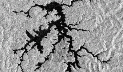
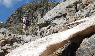
Using Sentinel-2 to prepare your hike

The departmental council of the Alpes de Haute-Provence has put online 6,500 km of hiking trails throughout its territory. These trails are visible on the site www.rando-alpes-haute-provence.fr which works with Geotrek software. To allow hikers to better prepare their outing, it might be useful to add the 20 m resolution snow maps produced by Theia […]

25.07.2018

Enneigement sur les sentiers des Alpes de Haute-Provence

Le conseil départemental des Alpes de Haute-Provence a mis en ligne le tracé des 6 500 km de sentiers aménagés et balisés sur l’ensemble de son territoire. Ces sentiers sont visibles sur le joli site www.rando-alpes-haute-provence.fr qui fonctionne avec le logiciel Geotrek. 

Xe-Namnoy lake dam failure

[This post was written by Simon Gascoin and Sylvain Ferrant] The Lao News Agency reported that the Xe-Pian Xe-Namnoy dam collapsed on Monday causing catastrophic flash floods. « The disaster has claimed several human lives [and] left hundreds of people missing, » the agency reported. Construction of the Xe-Pian Xe-Namnoy dam began in 2013. Commercial operations were […]

24.07.2018

Petite histoire de la deuxième bande SWIR de Sentinel-2

Sentinel-2 a deux bandes dans le moyen infrarouge, la bande 11 dite SWIR1 (centrée à 1,6 µm) et la bande 12 dite SWIR2 (centrée à 2,2 µm). Mais pourquoi deux bandes SWIR ? Le « Mission Requirements Document » (MRD) est un document central dans la définition d’une mission spatiale car il décrit les besoins auxquels la […]

20.07.2018

[MUSCATE news] Two new sites added to Sentinel-2 L2A production : Lebanon and Telangana (India)

After a very difficult period, and thanks to the installation of new improvements MUSCATE ground segment is back in shape, and margins have been found to add new sites.  We have added two new zones where Sentinel-2 data are processed to Level 2A, which provide surface reflectance after atmospheric correction and a good quality cloud […]

Snow conditions in southern Africa ski resorts

When I present the potential of Sentinel-2 for snow science, I often tell that the spatial resolution of Sentinel-2 is sufficient to detect snow at the scale of the ski runs. Because a picture is worth a thousand words, here is the Sentinel-2 view of the only two ski resorts in southern Africa on July […]

18.07.2018

[Venµs news] Distribution of Level2A has started

You might have noticed the apparition of the first Venµs L2A products on Theia web site within the real time production, since last Friday.  A first global processing will start this summer, to provide you with the data acquired from November until now. There will be probably further reprocessings to benefit from the fine tuning […]

10.07.2018

Over 10’000 snow products in Theia

To celebrate the 10’000th snow product in Theia, here is the latest snow map over the Vicdessos area in the french Pyrenees near Andorra. The snow is in blue and the clouds are in white! Pan and explore the map below.. See full screen Big up to the Muscate team!

09.07.2018

A mining company doing land art?

On March 9th, 2018, a tailings dam has failed at Cadia, a large open pit gold mine in Australia. Dave Petley for the AGU landslide blog collected aerial and satellite (Planet) images of the dam before and after the event. The Newcrest mining company also published a report on the failure. The embankment slump is […]

05.07.2018

Rechercher