MAJA 4.2 is available and open source
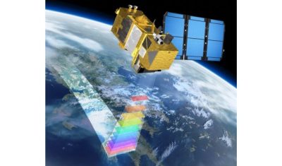
=> MAJA is the high quality cloud detection and atmospheric correction code developped by CNES and CESBIO, with contributions from DLR, and coded by CS GROUP. It is used within Pôle Theia, Sen2Agri, Sen4cap, DLR, EEA Snow&Ice, KERMAP… to process #Sentinel2 time series. It’s been a long time since we wanted to make MAJA available […]