Trouvez l’intrus
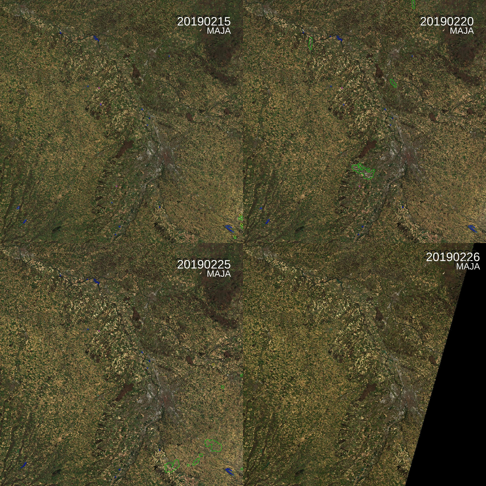
=>Parmi cette série temporelle d’images de niveau 2A de la tuile 31TCJ (Toulouse), il y a une intruse. Saurez vous déviner laquelle ? Oui, c’est la dernière,, acquise le 26 Février. Mais qu’a t’elle de spécial ?
(English version below) Dans le cadre du projet Simult’eau (partenaires : Arvalis, CACG, Chambres d’Agriculture du Tarn et des Hautes-Pyrénées, financement CASDAR) nous avons testé l’apport d’une utilisation combinée des images radar et optiques pour la cartographie des surfaces irriguées (maïs et soja) dans le Sud-Ouest de la France. Les résultats publiés dans Remote Sensing […]
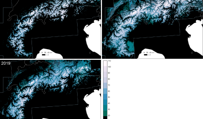
Here in southwest France ski lovers did not really enjoy the beginning of the snow season… But how does it compare to the previous years? Using Sentinel-2 and Landsat-8 data, we computed the snow cover duration since September 01 until January 20 for the past three snow seasons in the Alps and Pyrenees.
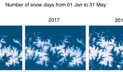
More exactly: two maps of 934’343’100 pixels! We [1] have processed 6205 Sentinel-2 images and 593 Landsat-8 images to compute the annual snow cover duration in the Alps and the Pyrenees at 20 m resolution for hydrological years 2016-2017 and 2017-2018. The snow cover duration (or snow persistence) is defined as the total number of […]
=> (Mise à jour le 4 octobre 2018) Cet été, alors que la plupart d’entre nous prenions des coups de soleil sur la plage, nous faisions dévorer par des moustiques, attrapions des courbatures en rando, ou faisions de longues siestes pour nous remettre de nuits fatigantes, les équipes de production et de distribution de MUSCATE […]
On June 23 we will celebrate the third anniversary of Sentinel-2A in orbit. With three years of data we can start looking at the inter-annual variability of biophysical variables, like.. (random example), the snow cover. This is what I attempted to do for the Theia workshop. I downloaded all available snow cover products from Theia over […]
We will start distributing MAJA V3.1 this May to replace MAJA V1 on CNES free software platform. It is also in the pipeline of enhancements of Theia processing platform (MUSCATE), but this pipeline is quite full, so we will need to be patient (which requires a big effort for me, patience not being my best quality…) MAJA […]
=> Thanks to our collaboration with DLR,, who developed the method [1], and with an ESA funding, we added within MAJA a correction for thin cirrus clouds that works for LANDSAT 8 and Sentinel-2. This correction uses the cirrus band at 1.38 µm, which allows to estimate cirrus reflectance, which is then subtracted from the […]
You probably remember Simon Gascoin’s story about the Aru glacier avalanches, which started from Simon’s observations of the twin avalanches using the Sentinels. It was one of the big buzz pages of the blog in 2016. The first images were published here, then spread out in many scientific websites and the social networks. It seems […]