In English

Antakya before and after the earthquakes

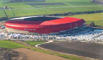
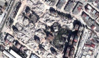
We received satellite images of Antakya, Turkey acquired by Pléiades 10 days after the earthquake. The comparison with pre-event imagery leaves me speechless. The post-event images were acquired by Pléiades PHR1A thanks to CNES Cellule d’Intervention et d’Expertise Scientifique et Technique nouvelle génération : CIEST² (https://www.poleterresolide.fr/ciest-2-nouvelle-generation-2/). I rectified the raw images using the SRTM digital […]

17.02.2023

Weakly dissipative chaotic attractor

The low predictability of agricultural cycles in semi-arid regions

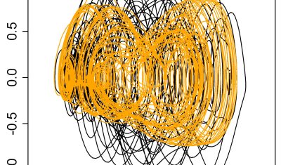
The low predictability of agricultural cycles in semi-arid regions [1]. In the early 2010s, chaotic attractors were captured for the cycles of cereal crops in North Morocco. This result was unexpected for several reasons. It was the first time a chaotic attractor was obtained from remote sensing data. It was also the the first « weakly dissipative » […]

26.01.2023

How to use on demand InSAR to analyse the Joshimath landslide

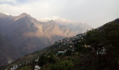
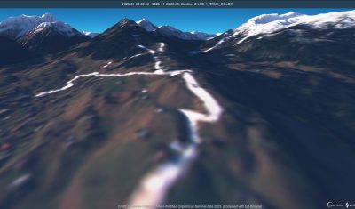
International news media reported that the Joshimath city in north India (Uttarakhand) was « sinking » due to a slow landslide. In January, many houses had developed major cracks on the walls and 145 families were temporarily moved. The Indian space agency published a map of the ground deformation obtained by SAR interferometry using Sentinel-1 data. Although […]

21.01.2023

[VENµS] Full reprocessing of VM1 data available

The full reprocessing of VENµS VM1 data acquired between end 2017 and end 2020 has just been completed, with improvements for the Level 1C and level 2A processing. The data can be downloaded from the Theia website : https://theia.cnes.fr by clicking on VENµS VM1 (The data from VENµS new on-going phase, with a revisit of […]

19.01.2023

Extent of the Alps snow cover in January 2023 (before the storm)

In early January 2023 the snow cover area in the Alps was lower than the 30 years minimum. The snow cover area in January 2023 was lower than the snow cover area last year at the same period. This caused the publication of a lot of depressing ski resorts photographs. But the ongoing snowfalls in […]

18.01.2023

A 10 m resolution land cover map of Sahel with iota2

iota2 is the large scale mapping software developed at CESBIO. iota2 takes high resolution satellite image time series (SITS), usually Sentinel (1 and 2) or Landsat, and produces maps over large areas. Maps of most usual variables of interest in remote sensing can be produced, since iota2 can compute user-defined functions at the pixel level, […]

09.01.2023

Iceberg B-22A on the go

B-22A is the largest iceberg in the Amundsen Sea, Antarctica (50 times Manhattan land area). It broke off from Thwaites Glacier’s tongue and remained grounded for 20 years.. But now it’s on the go, as shown by this animation I made from Sentinel-1 SAR images (about 1 per month since June 2015, total 75 frames): […]

08.01.2023

Some news from ESA regarding the coming launches of Sentinels 1 and 2

In this article, ESA gave us some news of the time table for the coming launches of next Sentinel1 and 2 satellites. As you may have heard, we have these days a shortage of European launchers, due to the ending of Soyouz launches from Kourou, the delays in Ariane 6 delivery, and the initial uncertainties […]

08.12.2022

Feedback on hydrological monitoring of Telangana region in India using remote sensing

=> Claire Pascal, PhD student at CESBIO, under the supervision of Olivier Merlin (CNRS researcher) and Sylvain Ferrant (IRD researcher) brilliantly defended her thesis on the monitoring of water resources by satellite on November 18. Claire’s work focused on the Telangana region of India where rainfed cotton and flooded rice farming dominate. The region has […]

01.12.2022

Rechercher