Landsat

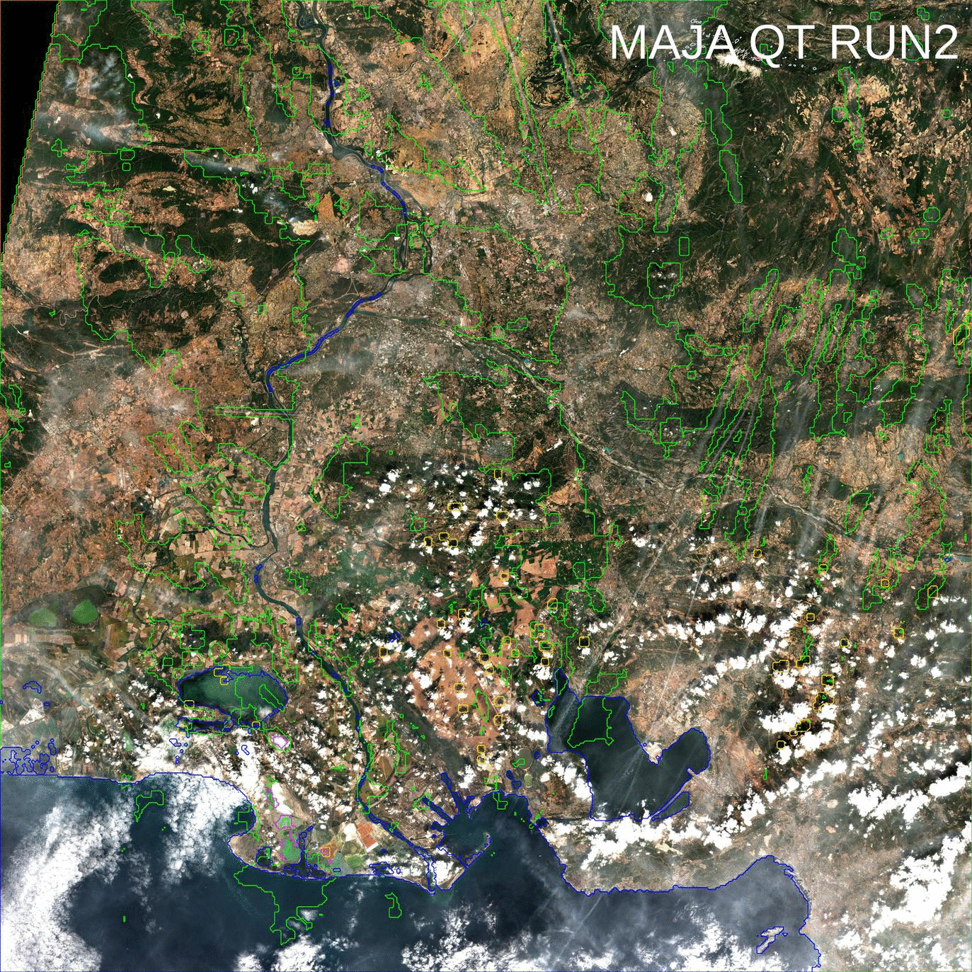
MAJA V3.1 will be distributed this May

We will start distributing MAJA V3.1 this May to replace MAJA V1 on CNES free software platform. It is also in the pipeline of enhancements of Theia processing platform (MUSCATE), but this pipeline is quite full, so we will need to be patient (which requires a big effort for me, patience not being my best quality…) MAJA […]

11.05.2018

MAJA now corrects thin cirrus clouds on Landsat-8 and Sentinel-2 images

=> Thanks to our collaboration with  DLR,, who developed the method [1], and with an ESA funding, we added within MAJA a correction for thin cirrus clouds that works for LANDSAT 8 and Sentinel-2. This correction uses the cirrus band  at 1.38 µm, which allows to estimate cirrus reflectance, which is then subtracted from the […]

07.04.2018

From Multitemp blog to Nature Geoscience

You probably remember Simon Gascoin’s story about the Aru glacier avalanches, which started from Simon’s observations of the twin avalanches using the Sentinels. It was one of the big buzz pages of the blog in 2016. The first images were published here, then spread out in many scientific websites and the social networks.  It seems […]

24.01.2018

Tous nos voeux pour 2018 !

=>Que cette nouvelle année vous apporte joie et bonheur, et pas seulement dans l’utilisation de séries temporelles ! Sans aucune originalité, ce début d’année est l’occasion de faire un petit bilan de l’année 2017. Voici, dans notre domaine, quelques uns des faits que je retiendrai : Le démarrage de la production des données de niveau 2A […]

05.01.2018

Building a global cropland mask, is not an easy task

Criticizing is easy, and doing is hard, especially when trying to create a global map of croplands. Some collegues from CESBIO have worked on that subject within the Sen2Agri project, and obtained good resuts, but only at the local or country scale. Finding a method that works everywhere must clearly be much harder.These days, I […]

27.11.2017

NASA selected CESBIO’s land cover map of France as « image of the day »

=> It is a well deserved recognition for the land cover product developed at CESBIO : NASA’s earth observatory blog dedicated its « image of the day » blog post for the 15th of August to this product. This work was done in the framework of Theia, using iota2 free software also developed at CESBIO. Thanks to the information conveyed […]

16.08.2017

La NASA choisit le produit d’occupation des sols OSO du CESBIO comme « image du jour « 

=>C’est une reconnaissance bien méritée pour le produit d’occupation des sols OSO développé et produit au CESBIO : le blog « earthobservatory » de la NASA a consacré son article « image du jour » du 15 août à ce produit. Ce travail a été conduit dans le cadre de Theia, avec le logiciel libre iota2 développé au CESBIO. Grâce […]

Best wishes for 2017 !

=>  Bonne année ! A fifth season starts for the « Time series » blog (2016 stats are provided at the end of the post) ! We wish to all our readers that 2017 :   Sequence of two Landsat-8 and Sentinel-2A images. Both images are level 1 product displayed as natural color composites. Click to enlarge. […]

03.01.2017

Meilleurs voeux pour 2017 !

=> Bonne année ! Une cinquième année commence pour le blog Séries Temporelles (les statistiques de 2016 sont fournies à la fin de l’article) ! Nous souhaitons à tous nos lecteurs une année 2017 :    Sequence of two Landsat-8 and Sentinel-2A images. Both images are level 1 product displayed as natural color composites. Click […]

Rechercher