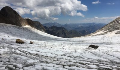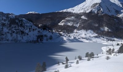
Neige et crues dans les Pyrénées entre novembre 2021 et janvier 2022
Le manteau neigeux s’est constitué rapidement dans les Pyrénées suite à plusieurs chutes de neige abondantes entre le 23 novembre et le 10 décembre. Après ce début de saison tonitruant, la surface enneigée a rapidement décliné pour atteindre une valeur plutôt basse au début de l’année 2022. Cette fonte rapide est la conséquence des températures […]