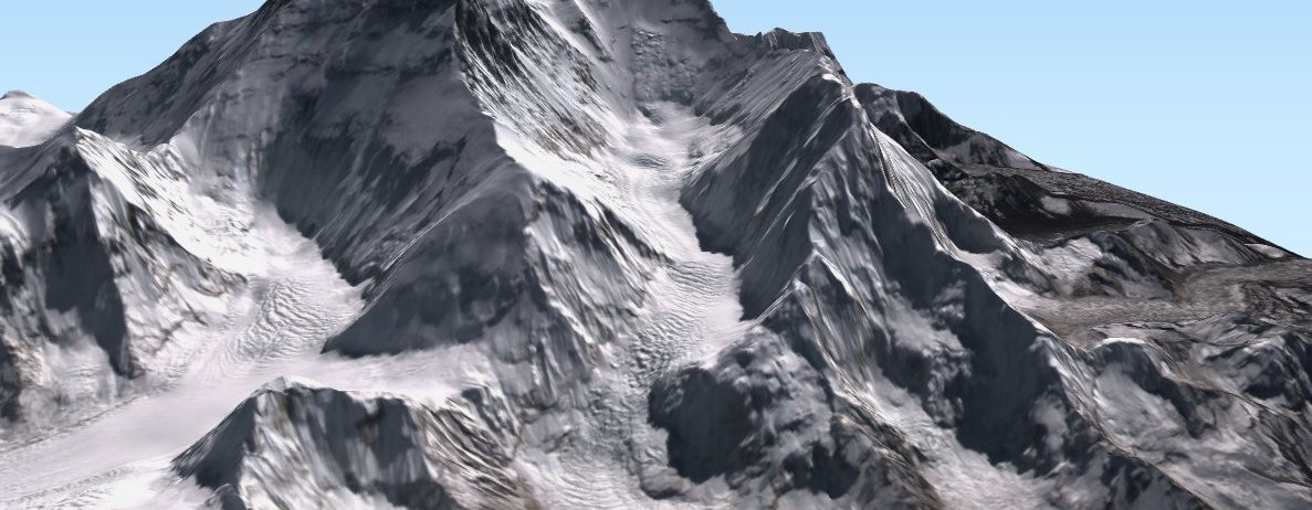
Mount Everest in 3D

Because it’s a stunning place that I will probably never visit, I have spent some time to make a 3D visualization of Mount Everest using QGISthreejs plugin in QGIS. I draped the 24 Oct 2021 clear-sky Sentinel-2 image on a gapfilled version of the HMA 8m digital elevation model (like in this post on the Khumbu glacier..). Besides, its a nice way to look at the spatial variations of the snowline elevation on the slopes of Mount Everest.

I made this animation available on Wikimedia so feel free to download and re-use it!

Plus d'actualités

New clear-sky image of the Rasuwa rock-ice avalanche

On 08 Sep 2026, Sentinel-2 acquired a clear-sky image near the release area of the landslide which caused the catastrophic flood in Nepal. Using this image and a pre-event digital elevation model (Berthier 2026) we can analyze the upper part of the avalanche runout profile. The block of rock and ice was released near 5120 […]

Near real time snow cover maps in the Copernicus Browser!

Copernicus provides near real time snow cover maps at 20 m resolution (fractional snow cover, code name: FSC OG). These products have been recently reprocessed and are now available through the Copernicus Data Space Ecosystem (CDSE) API and visualization tool, the Copernicus Browser! The latter is very useful to explore the data, for example if […]

Suivi du manteau neigeux dans les parcs naturels des Alpes franco-italiennes

Dans les Alpes, le manteau neigeux est un stock d’eau saisonnier naturel dont dépendent la faune, la flore et les humains pour de multiples usages (refuges, bétail, etc.). Dans le cadre du projet ACLIMO financé par le programme européen Interreg ALCOTRA, le Cesbio a été sollicité pour mettre en oeuvre un outil d’estimation de l’équivalent […]

Rechercher