irrigation

6 thèses soutenues au CESBIO entre décembre et février

En France, les nouveaux docteurs ne portent pas de chapeaux ridicules, mais au CESBIO, la célébration de l’avènement d’un nouveau docteur fait toujours l’objet d’un sérieux buffet, organisé par Laurence Keppel et financé par le laboratoire. Si vous avez constaté que certains membres du CESBIO ont pris du poids récemment, ne cherchez pas plus d’explication […]

29.02.2020

Apport des images radar et optiques pour la cartographie des surfaces irriguées

(English version below) Dans le cadre du projet Simult’eau (partenaires : Arvalis, CACG, Chambres d’Agriculture du Tarn et des Hautes-Pyrénées, financement CASDAR) nous avons testé l’apport d’une utilisation combinée des images radar et optiques pour la cartographie des surfaces irriguées (maïs et soja) dans le Sud-Ouest de la France. Les résultats publiés dans Remote Sensing […]

12.02.2019

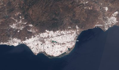
Whitewhashing the Plastic Sea near Almería

Almería province in Spain is « one of the most recognisable spots on the planet from the lens of a passing satellite. The roofs of tens of thousands of closely packed plastic greenhouses form a blanket of mirrored light beaming into space. » (The Guardian). Greenhouses in Almería are typically made with transparent plastic to increase the […]

26.08.2018

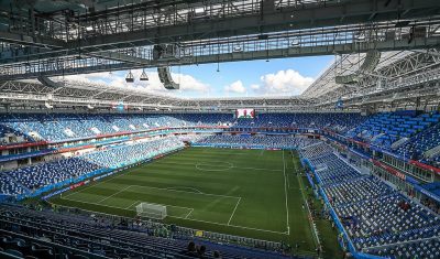
NDVI time series in 2018 World Cup stadiums

The figure below shows the evolution of the Normalized Difference Vegetation Index (NDVI) in the pitches of all the 2018 World Cup stadiums. I retrieved these data from Sentinel-2 observations using the new time series plotter in the EO Browser. I just drew a polygon in each of the 12 stadiums to get the average […]

01.07.2018

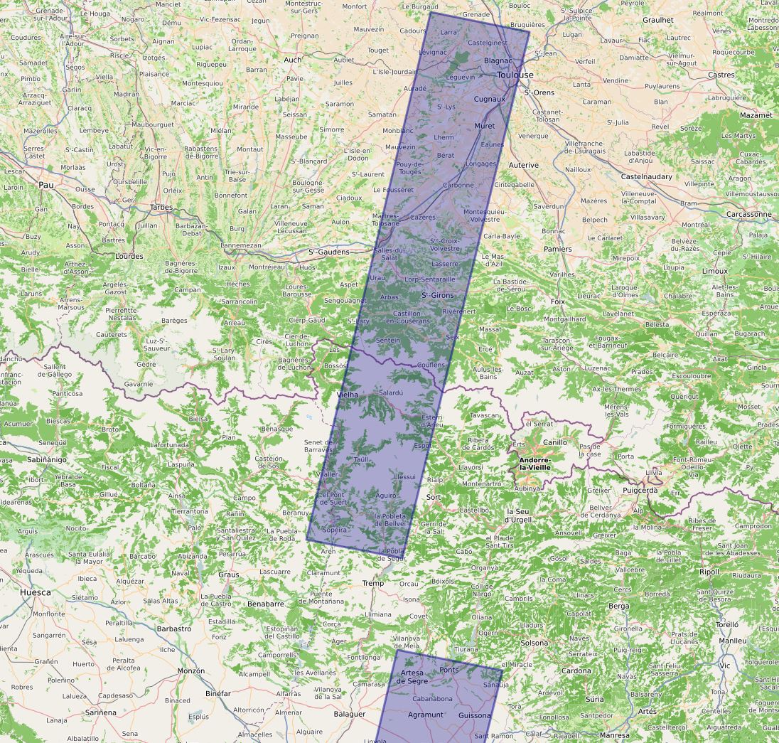
Venµs à l’honneur en Haute-Garonne et en Ariège en 2018

Le satellite Franco-Israelien Venµs, attendu depuis si longtemps, a été lancé le 2 août 2017. 110 sites dans le monde vont être observés en 2018 et 2019 à 10 m de résolution et avec 12 bandes spectrales. Alors que la plupart des sites ne correspondent qu’à l’emprise d’une scène Venµs (27 à 32 km de […]

05.12.2017

High spatial and temporal resolution optical remote sensing data to estimate maize biomass and yield

=> Climate variability has a strong impact on maize yield. For example, the strong drought that occurred in 2016 led to lower yields across France, even for irrigated fields. Yield estimates have a significant strategic and economic importance. High spatial and temporal resolution remote sensing data are a valuable tool for providing yield estimates at […]

17.10.2016

La télédétection optique à haute résolution spatiale et temporelle au service de l’estimation de la biomasse et du rendement du maïs

=> La variabilité climatique a un fort impact sur le rendement du maïs. Par exemple, les fortes sécheresses de 2016 ont conduit, même pour les parcelles irriguées, à une baisse des rendements à travers la France. Les estimations des rendements présentent un enjeu stratégique et économique important. La télédétection à haute résolution spatiale et temporelle […]

Irrigated crop maps for a better water management in agriculture

=>In a previous post, i have briefly presented: To classify irrigated farmland, within the growing period and at the scale of a territory, we focused on the use of optical remote sensing images. In the lines below, I will introduce the work to generate maps of irrigated crops usin Landsat-8 time series level 2A made […]

06.10.2016

An overview of irrigation evolution in Central Asia with Landsat

In Central Asia former soviet republics, pre-independence water allocation and irrigation system infrastructure were well maintained and operated with massive funding from the central government of the Former Soviet Union. Since independence, the situation has changed dramatically politically, institutionally and technically. Political transition from a planned to a market economy has introduced ‘new’ concepts such […]

04.10.2016

Rechercher