Canigou 3D

Lo Canigó és una magnòlia immensaque en un rebrot del Pirineu se bada- Jacint Verdaguer i Santaló


The Canigó is an immense magnoliathat blooms in an offshoot of the Pyrenees


3D view of the Canigou on 19-Dec-2017 (with a fancy tiltshift effect)

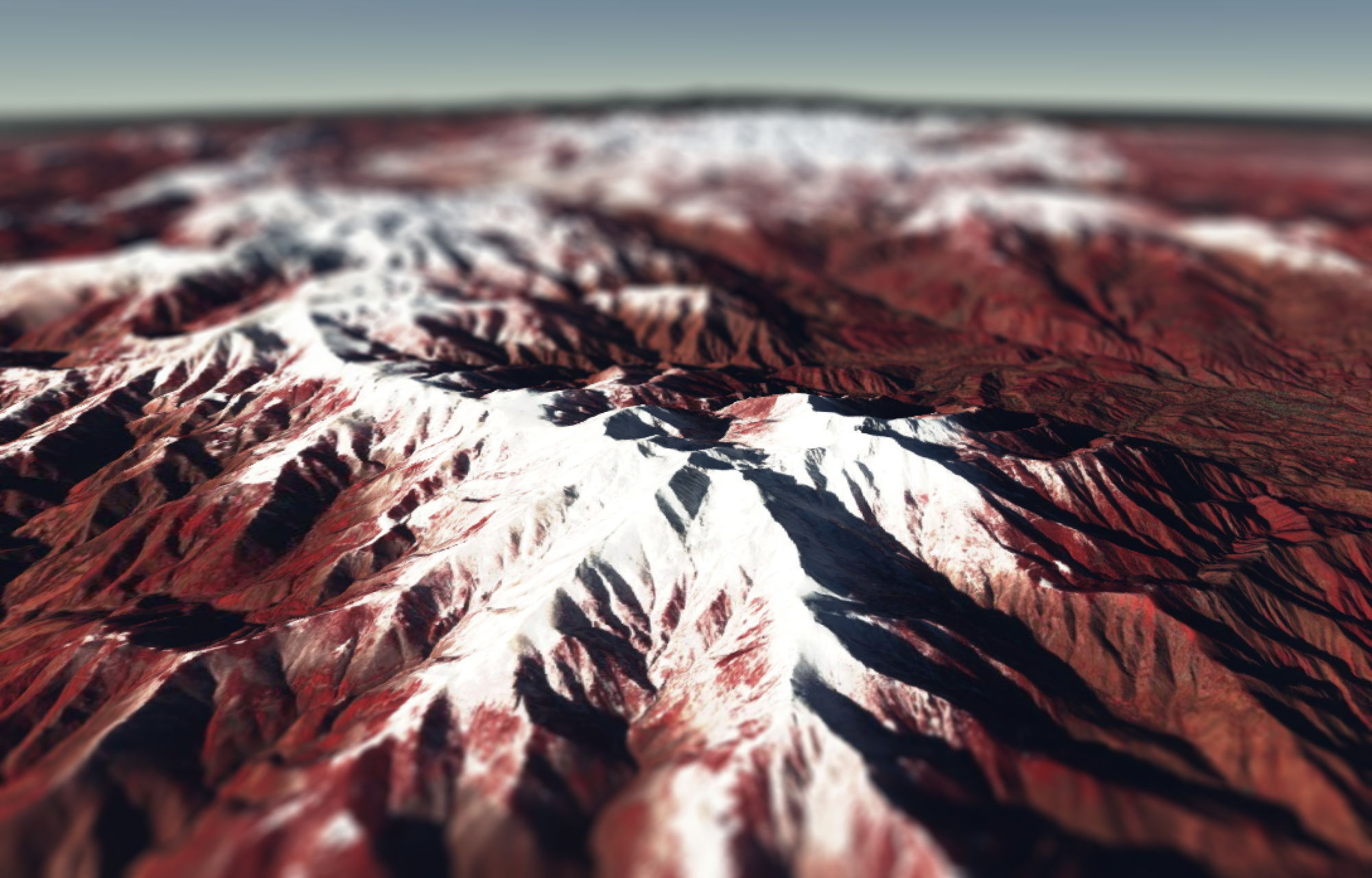
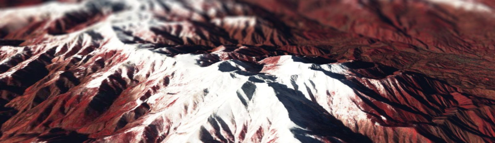
The Cesium library enables to interact with 3D models of the Earth surface in your browser. In combination with the Sentinel-Hub WMS service, it makes it possible to drape any Sentinel-2 image on a digital elevation model to visualize it in 3D. In his great post about Color Correction with JavaScript, Miha Kadunc of Sinergise illustrated this possibility with Monte Sarmiento in Patagonia. Here, I just re-used his code to make a 3D model with the latest Sentinel-2 image (19-Dec-2017) of one of my favorite mountain, the Canigou.

See and edit code in full screen

The snow season started early this year in the Pyrenees mountains, especially in the French Pyrenees.

Update on 03 April</ins, another example use of Cesium:

Plus d'actualités

IOTA2 software mailing list

Hello everyone, We have just created a mailing list for users of the IOTA2 software (iota2 — iota2 documentation). The tool will undergo significant developments in the coming months, and the purpose of this list is to communicate with the community to support these changes and to maintain the processing workflows needed by the users. […]

Evolution des glaciers du Vignemale sous l’œil des satellites Pléiades (2013-2025)

Grâce à DINAMIS, un couple d’images stéréoscopiques a été acquis par Pléiades 1B le 14 septembre 2025. Le modèle numérique de surface (MNS) produit à partir de ces images peut être comparé à un autre MNS de septembre 2013 produit à partir des images Pléiades 1A commandées par Marti et al. (2014). Le glacier d’Ossoue […]

Rapid analysis of the GLOF in Gupis, Gilgit-Baltistan

Pakistan news media reported that a glacier lake outburst flood (the failure of a dam containing a glacial lake) occurred near Gupis, Gilgit-Baltistan, a highly mountainous region administered by Pakistan. Satellite images show that the flood triggered a debris flow, which reached the Gupis valley where it hit the Roshan (Rashon) village and blocked the […]

Rechercher