Protégé : Un nouveau domaine scientifique : la comitologie
Il n’y a pas d’extrait, car cette publication est protégée.
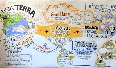
Data Terra
Il n’y a pas d’extrait, car cette publication est protégée.
3D
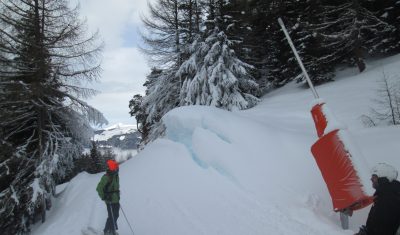
People often ask if we can detect artificial snow in satellite images. It’s not so easy except when the surrounding slopes are totally snow-free… But recently, I noticed some anomalous snow accumulations patterns in one of my satellite-derived snow depth maps near Super Barèges ski resort (Pyrenees). I made this snow depth map from a […]
En Français
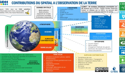
=> Context In 2021, CNES decided to implement a service hub for the dissemination of Earth Observation (EO) satellite data. Integrated in a national and European ecosystem, in the framework of Data Terra and at the service of scientific communities and CNES projects, the GeoDataHub project (GDH, which has more recently been renamed Geodes) will […]

En Français
=> Récemment, j’ai accepté de relire le papier suivant, qui est maintenant publié en ligne : Ce papier avait trois relecteurs. J’ai choisi de faire une relecture signée et publique, et le rapport du premier tour de revue est accessible ici. Comme vous pouvez le voir, j’avais beaucoup à dire sur ce papier, qui à […]

In English
=> Recently, I agreed to review the following paper, which is now online: https://www.mdpi.com/2072-4292/15/7/1827 The paper had 3 reviewers. I opted for signed, public review so you can find my review for the first round here. As you can see, I had quite a lot to say about this paper, which to my opinion required […]
En Français
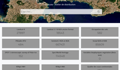
=> The Million ! If you sum up the numbers of products distributed by CNES for THEIA, you can see that our center is now distributing more than one million products (1,000,000!). Readers who follow this blog may remember our initial struggles related to the production, after which we celebrated 10,000 (in April 2017) or […]

En Français
=> Le Million ! Si vous calculez la somme des nombres de produits distribués par le CNES pour THEIA, vous pourrez voir que notre centre distribue maintenant plus d’un million de produits (1 000 000 !). Les lecteurs qui suivent ce blog se souviennent peut-être de nos difficultés initiales, qui nous poussaient à célébrer les […]
Applications
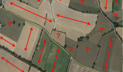
(article publié aussi sur le site du labo-OT au CNES) Pourquoi s’intéresser à l’orientation des cultures agricoles ? Au moins pour deux raisons. L’orientation des cultures par rapport à la pente du terrain contribue de façon importante au risque de ruissellement intense et par voie de conséquence à l’érosion des sols. Par ailleurs, connaitre l’orientation des […]

In English
Downloading time series from Theia can take a while, depending on the area and the time period covered by the images. Also, it consumes a lot of storage locally, since all the archives in .zip format have to be downloaded (the GeoDataHub will probably distribute Cloud Optimized Geotifs). From my experience, a lot of people […]