Some news about Sentinel-2 from Living Planet Symposium
If I haven’t posted for more than a week, it is because I have been participating to the Living Planet Symposium 2016 in Prague. With the preparation, travel, and participation to this crazy symposium. I say crazy because it is packed with about 3000 people, of which I know only about 300. When you want to go from a room to another, it takes as much as 20 minutes as you meet at least 3 or 4 of your colleagues and have a chat. But I do not need to tell you, as very likely, you were there too !
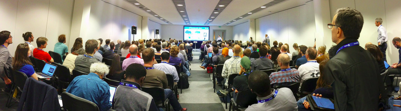
The good news is that I have had access to a lot of information. I will start by some news about Sentinel-2 of course. Some of these news are not good.
- The launch of Sentinel-2B has been postponed by to 2017, probably between March and June, due to a delay with the Rockot launcher. This is very annoying as accounting with the time needed for the commissioning phase, it means we will only rely on a 10 days repetitivity during modt of 2017.
- The availability of Sentinel-2 ortho-rectified data with ground control points has also been postponed to the end of 2016, while initially it was planned in June. ESA says it is due to the fact that the global reference images (GRI) are not ready yet worldwide. We thus will have to cope with registration errors of about 1 pixel within the same orbit and 2 pixels when comparing data from 2 orbits. ESA had announced last year that they would introduce the reference data per continents starting by Europe, but it seems they changed their minds. Still I was told that the GRI for Europe and Australia are available or will be very soon, so why not starting a prodution of ortho-rectified data on those continents ?
- ESA is also going to change and shorten the very long names of their products and start to distribute data tile wise. Of course, this is good news as the choices made before were not convenient, and it is better correcting it now, as the data backlog is short, but it means everyone will have to change his software. This might delay several productions downstream ESA ground segment.
- ESA has published a new version of Sen2cor, which is said to seriously enhance the scene classification which was really bad in the previous version, especially for its cloud and cloud shadows mask. I will test it of course, as soon as I find some time.
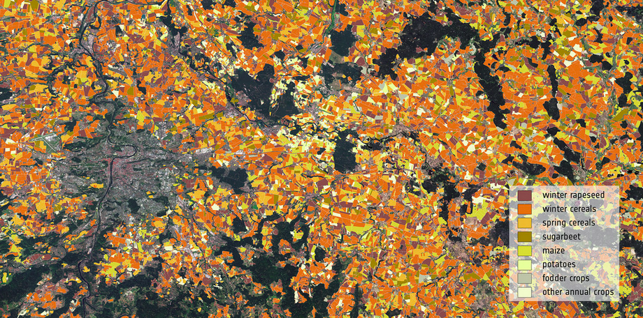
This image background image is a monthly synthesis of Sentinel-2 images of august 2016, covering the whole Czech Republic. It was processed by MACCS to level 2A and then to level 3A by the synthesis method we developed at CESBIO and implemented within Sen2Agri package. The overlayed landcover map itself was generated by GISAT in the Czech Republic based mainly on Sentinel-1 data, as Sentinel-2 data last summer were still quite scarce. This poster was shown on the 10x10m advert on the congress centre, alternating with a nice bikini (sorry, I only have the Sentinel image !)
I have been very positively surprised by how our user community has started using the time series, instead of using images only. It is clear we have entered a new chapter of remote sensing history on the application side, with much more robust results. The case studies based on one image have completely disappeared on the presentations, even if they are still present on the posters. Sentinel-1 examples were impressive and joint uses of both Sentinels 1 & 2 are rising. As the recently launched Sentinel-3A seems to be working well, it is clear ESA has set up a great system Europe can be proud of. And on top of that, ESA really know how to organise a symposium !