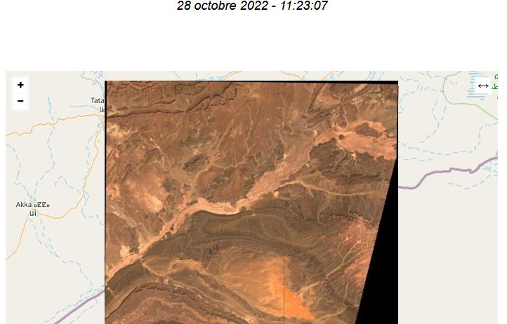
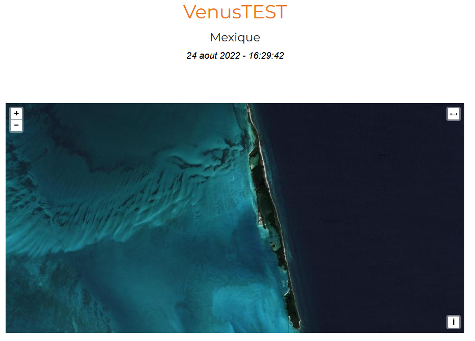
[THEIA] Near real time production of Sentinel-2 images has resumed

Newly produced Sentinel2 L2A products over Toulouse (we don’t distribute the 100% cloudy images)

Due to Brexit,  the ECMWF moved some of its computer infrastructure from Reading (UK) to Bologna (IT), and a 5 week interruption of service occurred for the production of Copernicus Atmosphere Monitoring Service. As our Level 2A production for Sentinel-2 uses this information to set the type or aerosols for the atmospheric correction, we had to suspend our production.


The service resumed last week, and Theia has almost caught up all the production, since images until October 26th are available ! Well done to the production team, and sorry for those of you who had to wait until the data became available.

 

Plus d'actualités

Near real time snow cover maps in the Copernicus Browser!

Copernicus provides near real time snow cover maps at 20 m resolution (fractional snow cover, code name: FSC OG). These products have been recently reprocessed and are now available through the Copernicus Data Space Ecosystem (CDSE) API and visualization tool, the Copernicus Browser! The latter is very useful to explore the data, for example if […]

The missing link to valorize CESBIO’s applicative research works

=>  My colleagues at CESBIO are extremely creative! Over the past ten years, they have developed a wide range of new products and methods for extracting information from Copernicus data. They don’t just develop and validate the method on a few sites; they continue their work until they have produced data for the whole of […]

Le chaînon manquant dans la valorisation des travaux de recherche en télédétection

=> Mes collègues du CESBIO sont très créatifs ! Ils ont mis au point, au cours des dix dernières années, un grand nombre de nouveaux produits et de méthodes d’extraction de l’information à partir des données Copernicus (Sentinel-1 et 2). Et bien souvent, ils ne s’arrêtent pas à la mise au point de la méthode […]

Rechercher