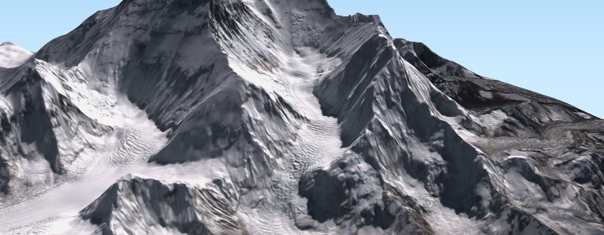
Mount Everest in 3D
Because it’s a stunning place that I will probably never visit, I have spent some time to make a 3D visualization of Mount Everest using QGISthreejs plugin in QGIS. I draped the 24 Oct 2021 clear-sky Sentinel-2 image on a gapfilled version of the HMA 8m digital elevation model (like in this post on the Khumbu glacier..). Besides, its a nice way to look at the spatial variations of the snowline elevation on the slopes of Mount Everest.
I made this animation available on Wikimedia so feel free to download and re-use it!