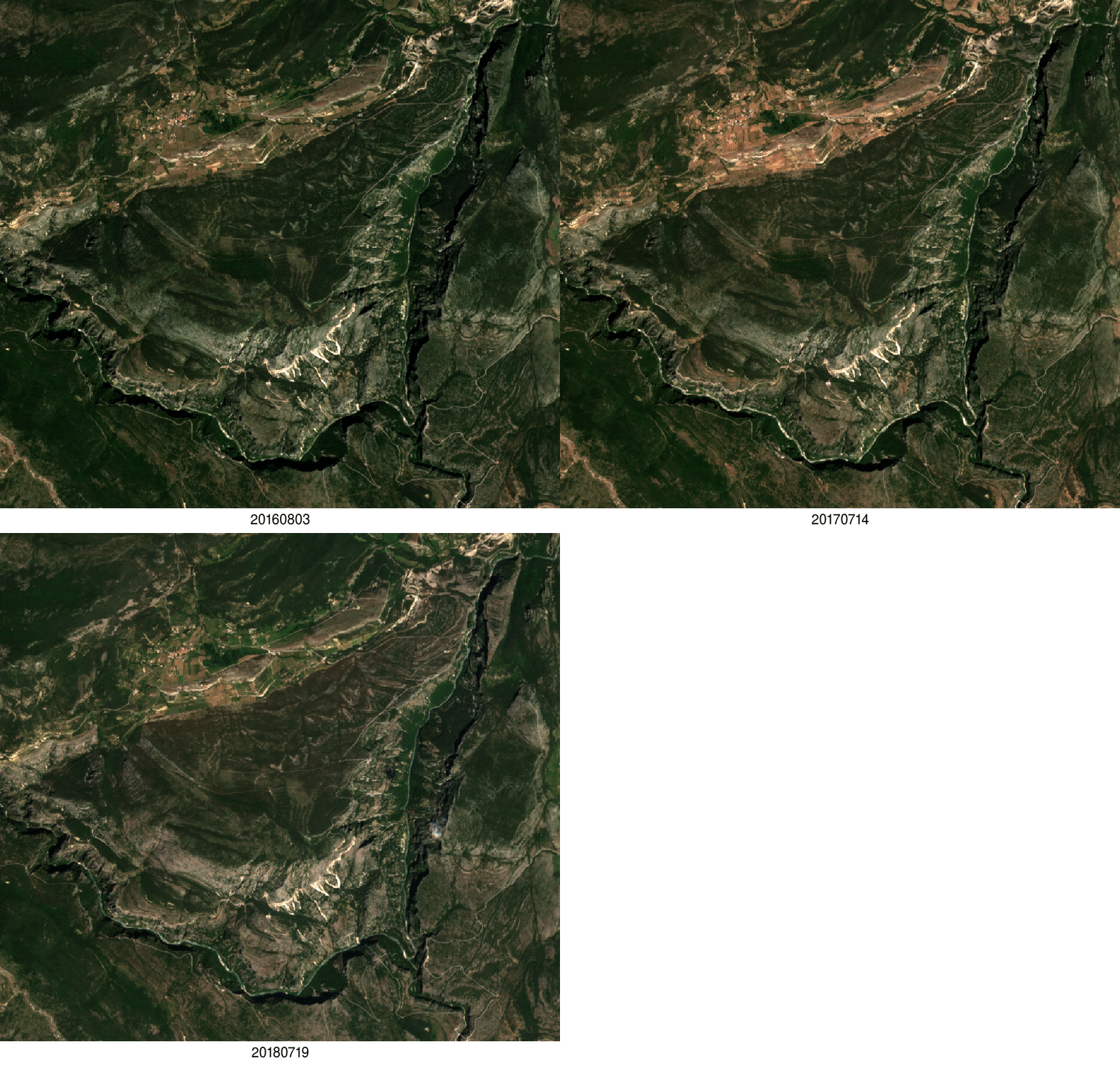
Using Sentinel-2 to prepare your hike

The departmental council of the Alpes de Haute-Provence has put online 6,500 km of hiking trails throughout its territory. These trails are visible on the site www.rando-alpes-haute-provence.fr which works with Geotrek software.

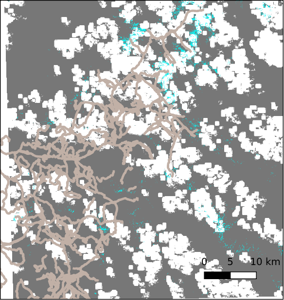
To allow hikers to better prepare their outing, it might be useful to add the 20 m resolution snow maps produced by Theia from Sentinel-2 observations. The example below shows the hiking routes in the north of the Mercantour Park superimposed on the snow map of July 4. There were many clouds on that day (white) but the LIS algorithm manages to distinguish the snow patches (cyan blue) between the clouds.
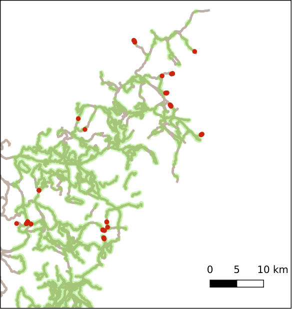
By sampling the snow map with the hiking routes, it’s possible to mark the snow-covered (in red) and snow-free (in green) passages.
Just add the openstreetmap layer on the map and you are ready!

Geotrek software allows you to add external raster layers. To facilitate the development of this service, Theia should offer the distribution of snowmaking maps in the form of Cloud Optimized GeoTIFF. During this time the field team takes care of the validation!

Plus d'actualités

BIOMASS, the third launched satellite mission designed at CESBIO !

After SMOS in 2009, and VENµS in 2017, the CESBIO laboratory is very proud to see its third proposed mission, Biomass, reach orbit. As always, it has been a long journey from the idea, at the beginning of the century, to the selection in 2013 as the seventh Earth Explorer Mission by ESA, to the […]

Sentinel-2 reveals the surface deformation after the 2025 Myanmar earthquake

Sentinel-2 captured several clear-sky images of Myanmar before and after the 28 March 2025 earthquake. The animation below shows a 5-day apart sequence of images captured by Sentinel-2B and Sentinel-2C (10 m resolution) near the epicenter located close to Mandalay. The surface slip due to the earthquake follows the Sagaing Fault, a major fault in […]

Evolution de l’altitude de la ligne de neige au cours des 41 dernières années dans le bassin versant du Vénéon (Oisans)

Pour contribuer à caractériser les conditions hydrométéorologiques lors de la crue torrentielle qui a frappé la Bérarde en juin, j’ai analysé une nouvelle série de cartes d’enneigement qui couvre la période 1984-2024 [1]. Grâce à la profondeur temporelle de cette série, on constate que l’altitude de la ligne de neige dans le bassin versant du […]

Rechercher