EEA 34 countries and corresponding Sentinel-2 tiles

MAJA and LIS selected for the next Pan European high resolution snow and ice monitoring service

The European Environment Agency (EEA) has selected a consortium led by Magellium to implement the next Pan European high resolution snow and ice monitoring of the Copernicus Land Monitoring Service.

click to enlarge
EEA 34 countries and corresponding Sentinel-2 tiles

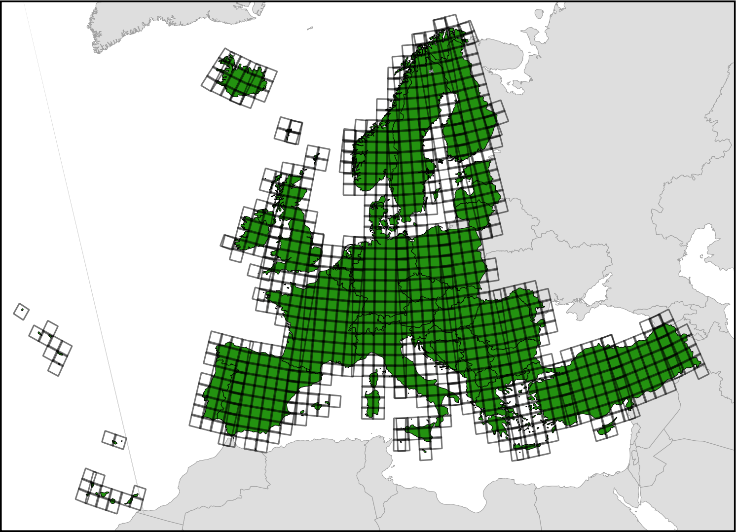
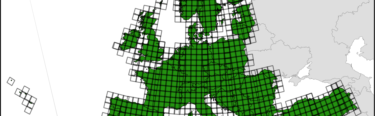
This future service aims to monitor three variables at 20 m resolution over the tiles displayed above:

  1. Fractional Snow Cover (FSC)
  2. Permanent Snow Line (PSL)
  3. River and Lake Ice (RLI)

All products should be generated from atmospherically corrected Sentinel 2 data. For FSC and RLI the product should be available no later than 3 hours after the input Sentinel-2 is published on the Copernicus Open Access Hub. Cesbio and Cnes provide MAJA software for the atmospheric correction and cloud detection and LIS for the snow cover detection and permanent snow mapping. Astri Polka is responsible for the RLI implementation. Meteo-France contributes to the FSC and PSL evaluation and University of Oslo to the RLI. Magellium is in charge of developing the production system and to operate it on one of the DIAS centers. The products will be freely distributed to any user.

click to enlarge
Snow and ice in the Swedish Lapland by Sentinel-2. The image is centered on Salmijärvi near Kiruna where is located the prime ground station for Sentinel-2 mission control. The image was acquired on 23 Apr 2019, the day of the EEA contract award notice.

PS. If you’d like to join the project we are recruiting! https://emploi.cnrs.fr/Offres/CDD/UMR5126-EMIBAS-003/Default.aspx?lang=EN

Plus d'actualités

BIOMASS, the third launched satellite mission designed at CESBIO !

After SMOS in 2009, and VENµS in 2017, the CESBIO Laboratory is very proud to see its third proposed mission, Biomass, reach orbit. As always, it has been a long journey from the idea, at the beginning of the century, to the selection in 2013 as the seventh Earth Explorer Mission by ESA, to the […]

Sentinel-2 reveals the surface deformation after the 2025 Myanmar earthquake

Sentinel-2 captured several clear-sky images of Myanmar before and after the 28 March 2025 earthquake. The animation below shows a 5-day apart sequence of images captured by Sentinel-2B and Sentinel-2C (10 m resolution) near the epicenter located close to Mandalay. The surface slip due to the earthquake follows the Sagaing Fault, a major fault in […]

Satellite Stereoscopy for Water Resource Monitoring?

=> In arid or semi-arid regions, where irrigation is widespread, monitoring agricultural water resources is essential to anticipate shortages. These resources may come from large dams, small reservoirs, or groundwater aquifers. This is the case in the state of Telangana, in South India, where numerous large dams (shown in cyan blue in the figure below) […]

Rechercher