[MUSCATE news] MAJA upgraded to version 2
Yesterday, the MUSCATE ground segment started delivering Sentinel-2A L2A products using the MAJA V2 processor, while MAJA V1 was used until now. MAJA V2 corrects for a few bugs (such as the pixels flagged as cloud or cloud shadow on the edge of the images) and adds three new features :
- We implemented a correction for directional effects for a better estimate of Aerosol optical thickness. As you probably know, MAJA uses multi-temporal criteria to detect clouds and estimate aerosol content. These criteria suppose that surface reflectance does not change much from one date to the next one. Over a given tile, we can combine data coming from two adjacent orbits, with slightly different viewing angles, and the directional effect can induce some variations in the surface reflectance of successive acquisitions, which would be interpreted as atmospheric effects. We are now using a simple directional correction to reduce this noise source (D.Roy et al). As this directional correction is not perfectly accurate, it is not applied to the surface reflectance we deliver at the end of MAJA processing.


Elsa Bourgeois, from Cap Gemini, compared the performances of processing with or without directional correction. In both cases (S2A, top, S2B, bottom), there is only a very slight improvement of performances.
- We implemented a cirrus correction, that comes from DLR works. This correction is not in production yet, as it needs more validation on a large data set. We simply parametrise MAJA with « cirrus_correction= false ». A coming post will address this subject.
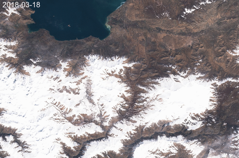
- We have started using the new high cloud threshold that was refined in this post. It will result in more cloud cover, with a large difference over mountains.
All these small improvements are now implemented in version 1.6. They do not justify a reprocessing of the Sentinel-2 archive, although the accumulation of successive slight improvement could justify it. We intend to start a reprocessing when MAJA V3 is put in production.