[New] Time series of Sentinel-2 monthly syntheses in Italy
As announced a few months ago, our monthly synthesis processor for Sentinel-2 data, WASP, has been integrated to THEIA’s land data center processing facility at CNES, in spring 2019. We are therefore now extending the zones where we process the monthly synthesis (the so-called Level-3A products).
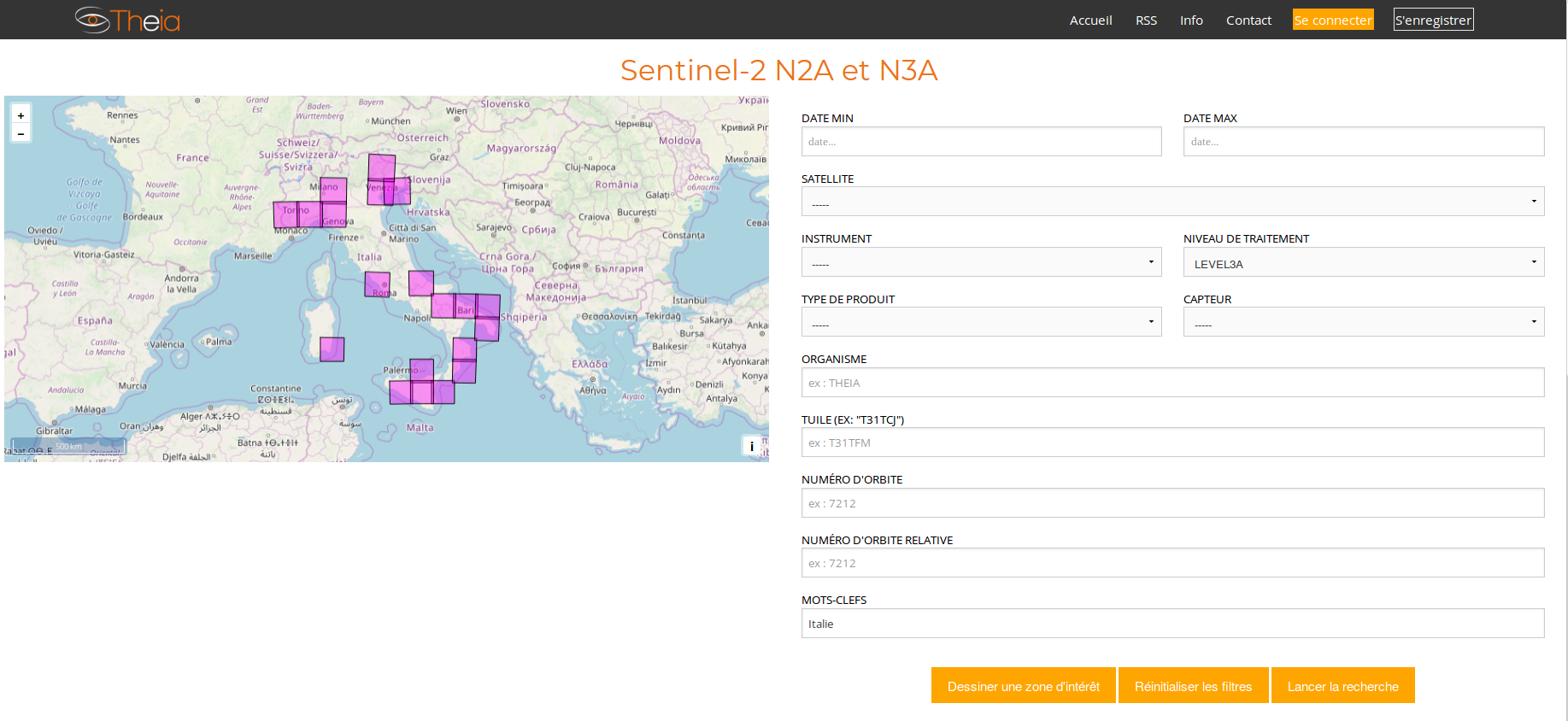
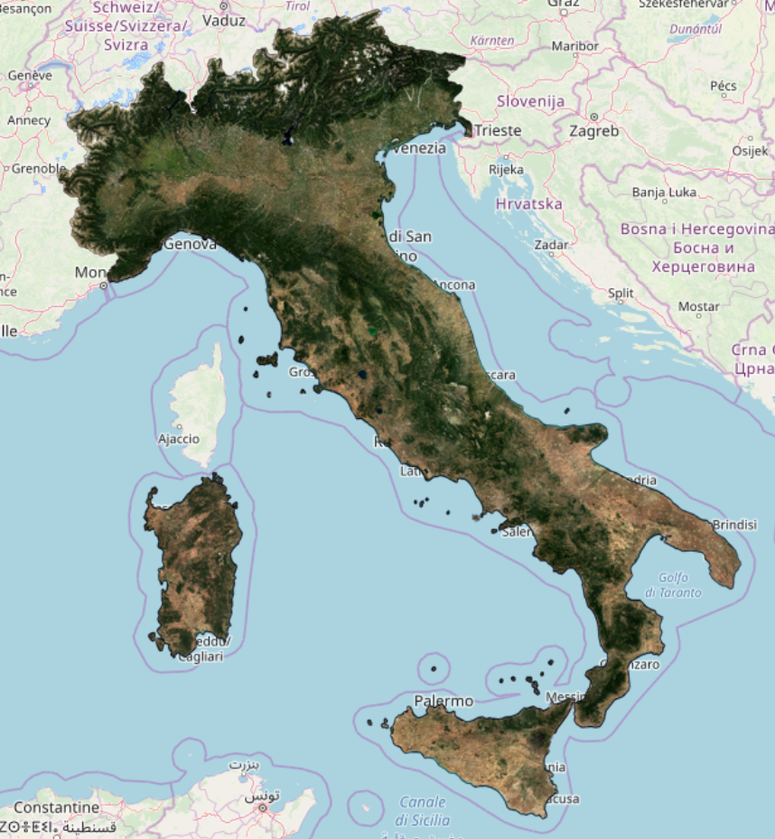
Here is how to look for Level 3A in Italia in THEIA’s catalog. Substitute « Italy » by « Italie » if your browser’s language is French.
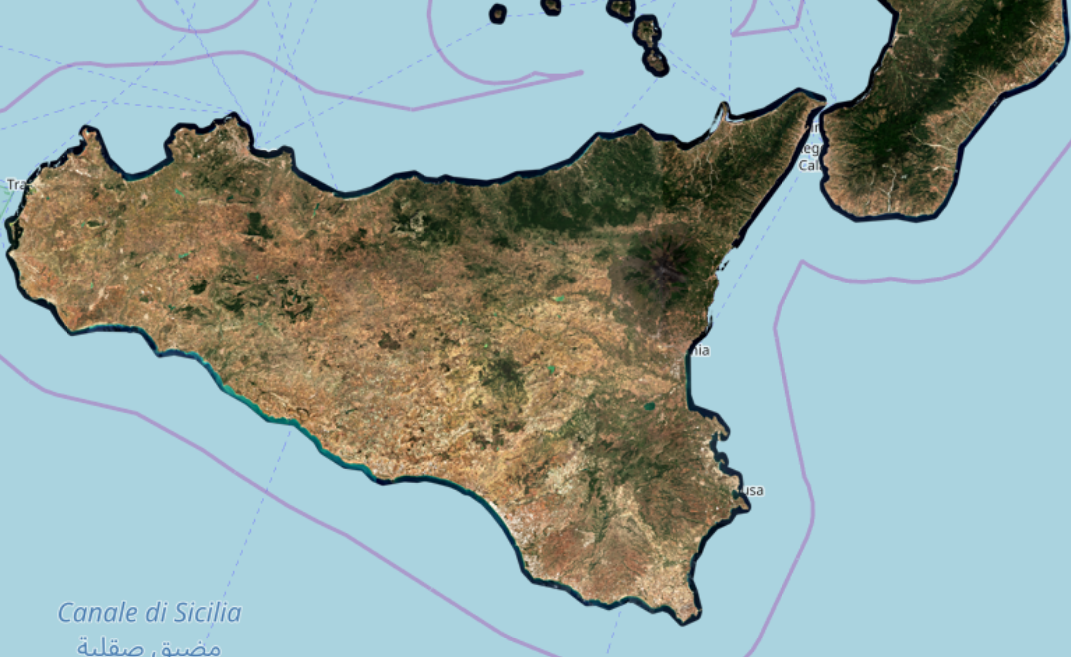
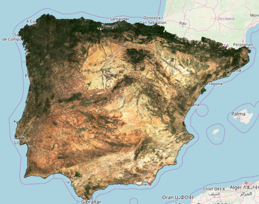
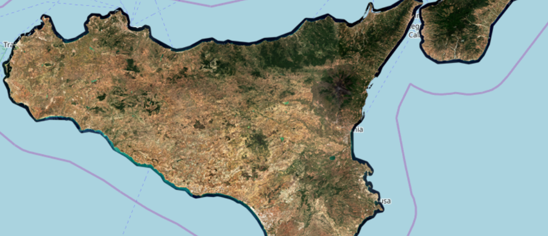
The first countries that we added are Spain and Portugal, and we are happy to release the first high quality monthly synthesis of surface reflectance of the whole Italian peninsula, valid for September 2019. It is not yet a time series, but we will produce this product every month from now on. As for the standard Level-1C and Level-2A products of Sentinel2, the level-3A product is split in tiles of 110*110 km, and is available for all Sentinel-2 spectral bands, except the atmospheric bands (B1, B9, B10). This data set can be downloaded, for free, from Theia web site, using the following link :
If your browser language is French, please use the following link:
We also usually create a mosaic of these tiles, for visualisation purposes, using only the Red, Green and Blue spectral bands, at 20m resolution (the Theia Level-3A products are available at 10m resolution). This mosaic shows the quality of the synthesis, as usually, a monthly synthesis is plagued with artefacts, but the ones we have here are very faint, but you might find some tile limits.
Click on the image to zoom to 20m resolution
To have a detailed description of the methods behind WASP, please read the link provided below. In a few words, WASP (Weighted average Synthesis Processor) computes a weighted average of Sentinel-2 cloud free reflectances gathered over a duration of 46 days, centred on the day 15th of each month. This processing relies on the quality of atmospheric correction and above all cloud detection obtained from MAJA L2A processor.