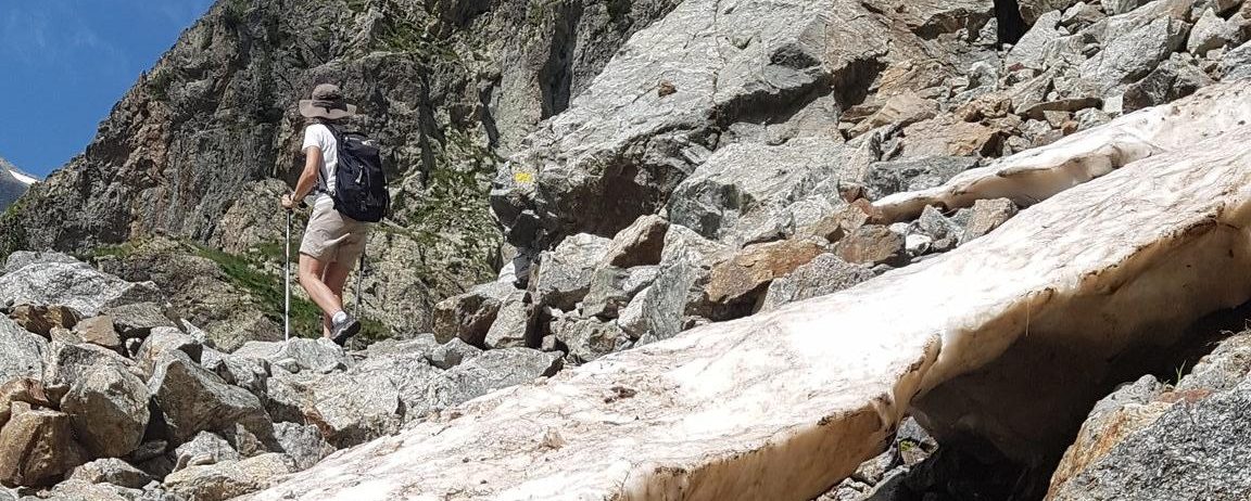
Using Sentinel-2 to prepare your hike

The departmental council of the Alpes de Haute-Provence has put online 6,500 km of hiking trails throughout its territory. These trails are visible on the site www.rando-alpes-haute-provence.fr which works with Geotrek software.
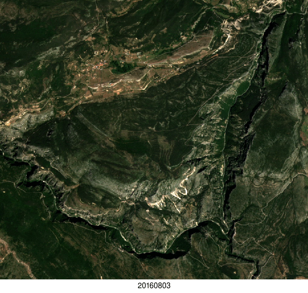
To allow hikers to better prepare their outing, it might be useful to add the 20 m resolution snow maps produced by Theia from Sentinel-2 observations. The example below shows the hiking routes in the north of the Mercantour Park superimposed on the snow map of July 4. There were many clouds on that day (white) but the LIS algorithm manages to distinguish the snow patches (cyan blue) between the clouds.

By sampling the snow map with the hiking routes, it’s possible to mark the snow-covered (in red) and snow-free (in green) passages.

Just add the openstreetmap layer on the map and you are ready!

Geotrek software allows you to add external raster layers. To facilitate the development of this service, Theia should offer the distribution of snowmaking maps in the form of Cloud Optimized GeoTIFF. During this time the field team takes care of the validation!