THEIA’s Sentinel-2 L2A processing on Sahel is progressing

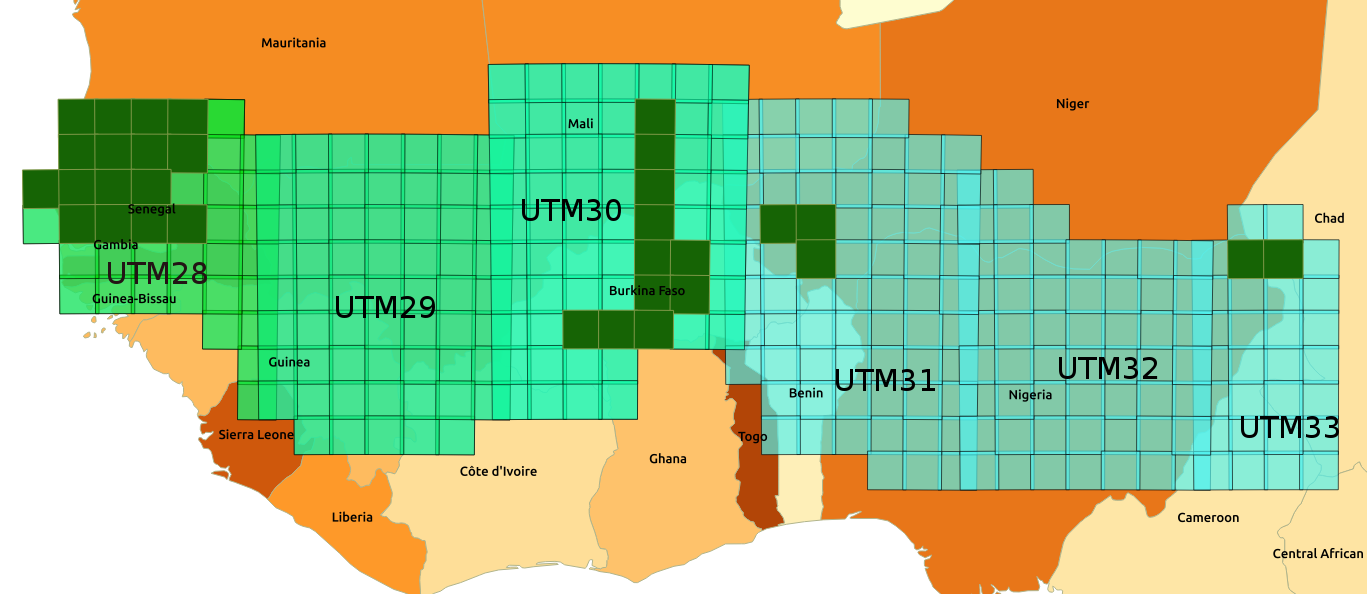
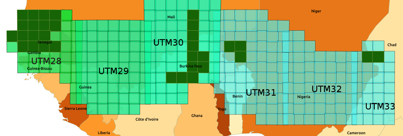
=> As we had announced in November, the MUSCATE production centre in Theia is gradually adding areas in the Sahel, which are shown in the image below. The data are processed from December 2016 onwards, which means that we have a large amount of data to process. We started with the most westerly tiles, in Senegal on the UTM28 zone, then progressed from one zone to another towards the East.
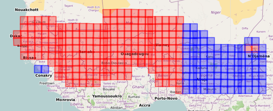
 

Progress of the processing of tiles in Theia’s Sahel zone. The tiles in red are available since January 2017, and processed in real time. The tiles in blue are being processed or will be shortly.

In the recent days, Theia has completed the processing of tiles in the UTM30 zone and in most of UTM31 area. The added region includes Burkina Faso, South of Mali, West of Niger, North of Benin. The processing of the east of UTM31 and the whole UTM 32 tiles has started. Feel free to take a look from time to time at the map of areas covered by MUSCATE. The blue tiles turn red as soon as we switch to near real time processing. The data can be downloaded from here:

https://theia.cnes.fr

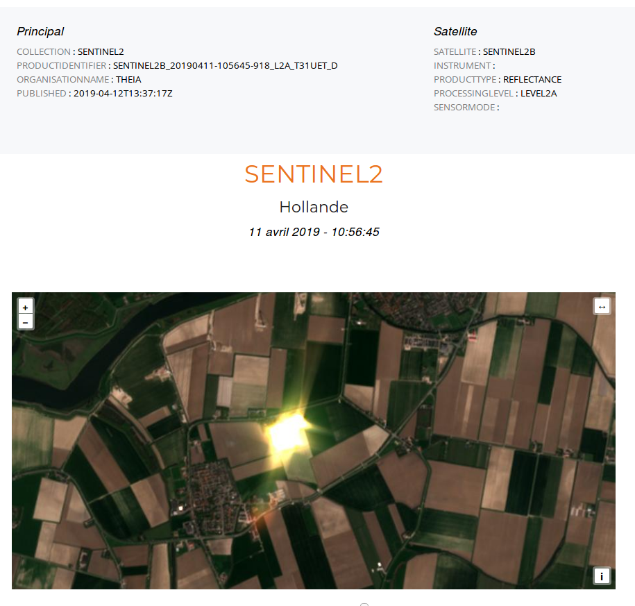
Animation in the region of the city of Mopti, Mali, with about one image per month in 2017. The displayed time series extends between two rainy seasons and covers the dry season. Many fire scars are visible during the dry season. Some shadows appear, which actually correspond to the shadows of cirrus clouds corrected by MAJA. Shadows and cirrus are marked in the products.

Plus d'actualités

Pléiades © CNES 2026 Distribution Airbus DS

Clear-sky Pléiades acquisition of the Rasuwa landslide source area

After many attempts, CNES’s Pléiades satellites finally captured a clear-sky view of the source area of the devastating flood in Nepal. The stereoscopic acquisition enables the generation of a high-resolution DEM and consequently a geometrically accurate orthorectified image. Although I’m not involved in the scientific analysis, I could not resist taking a closer look at […]

New clear-sky image of the Rasuwa rock-ice avalanche

On 08 Sep 2026, Sentinel-2 acquired a clear-sky image near the release area of the landslide which caused the catastrophic flood in Nepal. Using this image and a pre-event digital elevation model (Berthier 2026) we can analyze the upper part of the avalanche runout profile. The block of rock and ice was released near 5120 […]

How long is the cooling effect of a cloud shadow ?

How long does it take for the cannon barrel to cool down after firing a shell ? Fernand Raynaud => This quote is from a famous old French funny sketch by Fernand Raynaud, which was based on a question in a French manual for soldiers: the sketch is rather long, so I’ll give you the […]

Rechercher