THEIA : a tricky transition period caused production delays, but the production resumes
Update the 8th of January, 2024 : A new change in the interface from the Copernicus Dataspace on January the 2nd, implemented without prior notice, has caused a new interruption of our downloads, and the real time processing at THEIA, at a moment when no one was available to change things on the our side :(. The teams are now working to resume downloads.
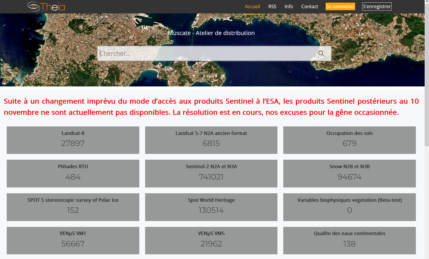
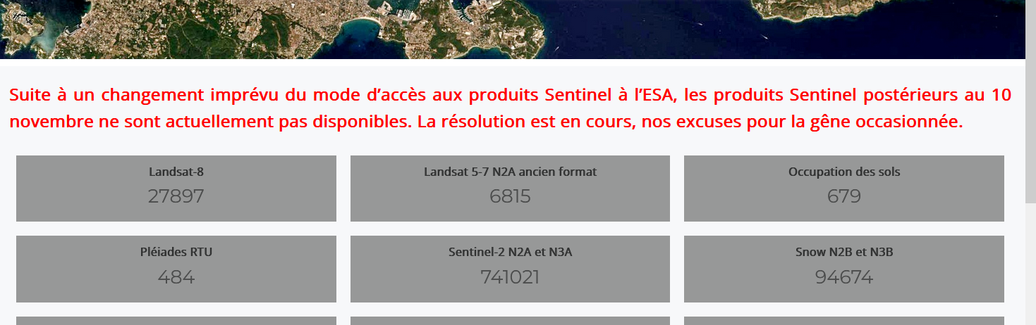
As the screenshot above shows, the end of 2023 was a tricky time for THEIA’s MUSCATE production center.
- ESA changed its main data distribution center, and the transition brought us a few surprises. The colleagues at CNES who download data to PEPS had to make last-minute changes. This caused a few weeks’ delay (from November 10 to December 4).
- The data made available on this server don’t stay there for long, and some were deleted before they could be retrieved from CNES. We therefore had to retrieve the missing data from other servers. This activity is still on going, and we have still have a few missing data.
- At the same time, our production system had to be migrated to the new CNES HPC system, and with these kinds of migrations, there are always surprises. Everything had been validated on the test datasets, but the transition to mass production triggered major delays. This problem was solved in a few days, and production can now restart just before the vacations. We’ll soon be able to remove the red message from our site !
A big thank you at the technical teams at CNES (including contractors) who maintain the PEPS and THEIA centers, et qui gave us the very nice Christmas present. I would like to thank especially Marie France Larif, for all her work and dedication, as she is leaving the center for a new position within CNES !

The outlook is bright for next year, with the commissioning of our new Hesperides production center, and the new data access center GeoDataHub (the name is going to change). Their official openings are scheduled for mid-2024, but test versions already exist. And by the way, MAJA now only requires 6 minutes to detect clouds and correct atmospheric effects on a Sentinel-2 product! We should therefore be able to significantly increase the areas we cover.