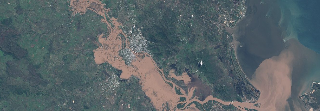
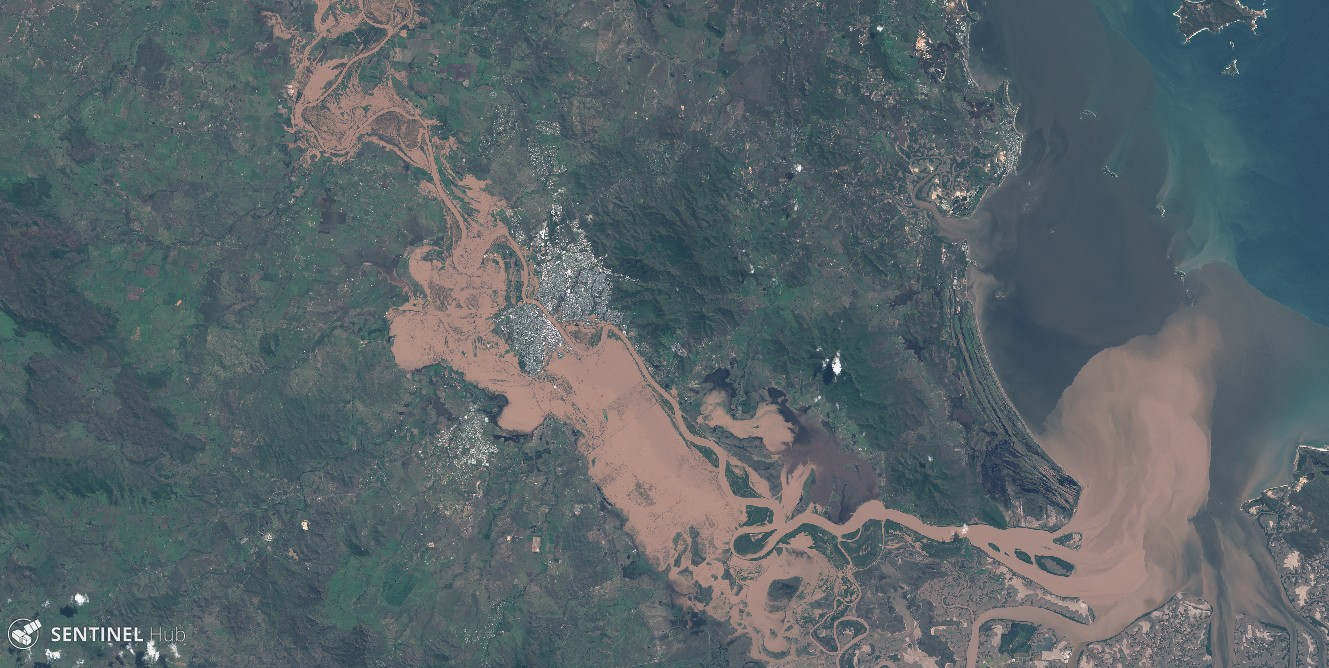
The 2017 Queensland floods

The Google Earth Blog spotted the recent Queensland floods in Sentinel-2 imagery.

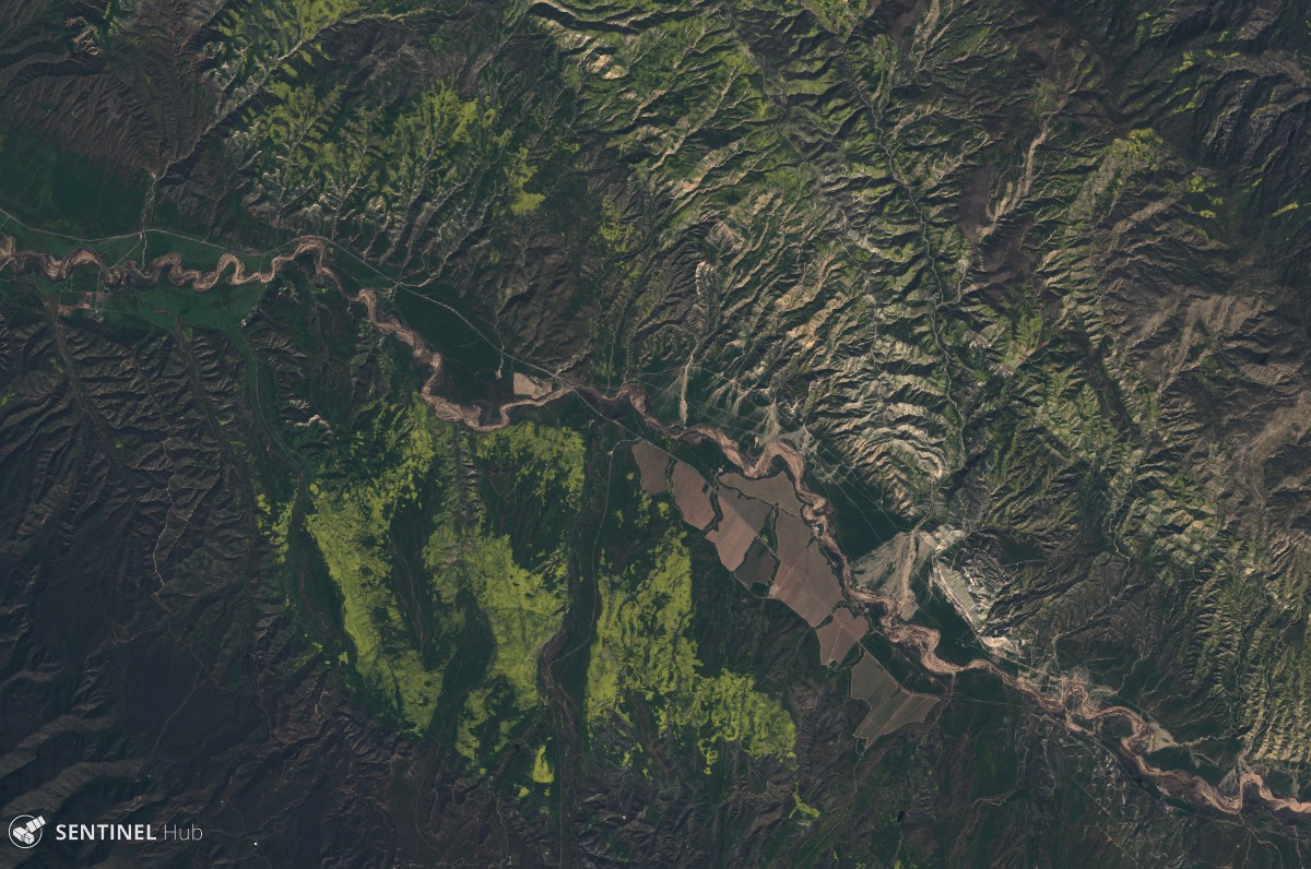
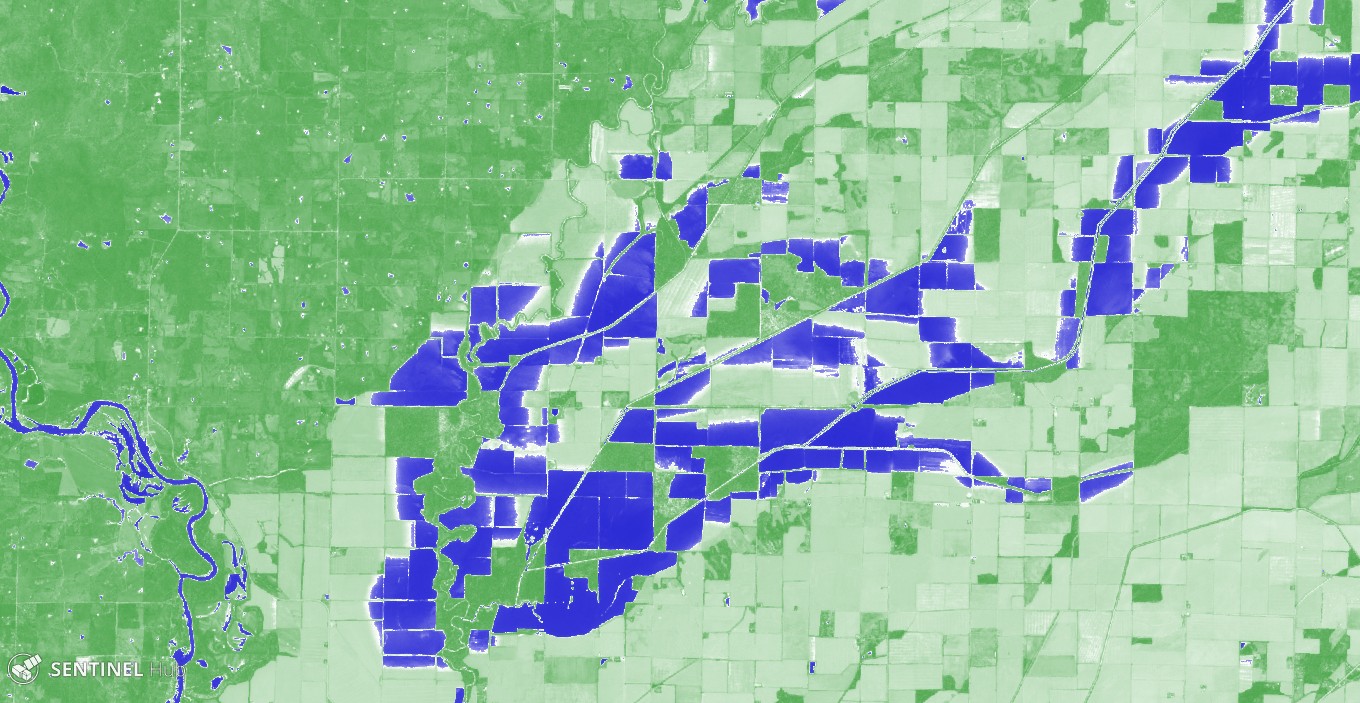
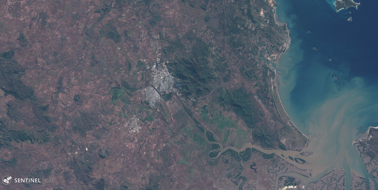
The Sentinels provide systematic coverage of the land areas, which facilitates the detection of changes due to natural hazards. Hence we can compare this Sentinel-2A image with another one that was captured last year during the same season to better highlight the extent of the flooded areas.

Plus d'actualités

The missing link to valorize CESBIO’s applicative research works

=>  My colleagues at CESBIO are extremely creative! Over the past ten years, they have developed a wide range of new products and methods for extracting information from Copernicus data. They don’t just develop and validate the method on a few sites; they continue their work until they have produced data for the whole of […]

Le chaînon manquant dans la valorisation des travaux de recherche en télédétection

=> Mes collègues du CESBIO sont très créatifs ! Ils ont mis au point, au cours des dix dernières années, un grand nombre de nouveaux produits et de méthodes d’extraction de l’information à partir des données Copernicus (Sentinel-1 et 2). Et bien souvent, ils ne s’arrêtent pas à la mise au point de la méthode […]

Sentinel-2 overtakes Landsat in scientific litterature

OpenAlex is a new, yet already very useful, open database for exploring scientific literature. For an upcoming blog post on the CNES Datacampus website, I analysed the proportion of papers that used only one of the Sentinel-2 or Landsat missions, as well as those that used both, in 2025. What struck me was that Sentinel-2 […]

Rechercher