SPOT4 (Take5) users’s day presentations
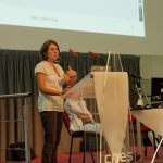
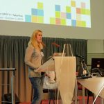
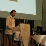
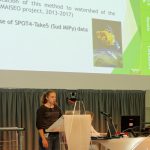
![]() Voici les présentations de la Journée SPOT4 (Take5) du 2 octobre, qui a réuni une centaine de personnes au CNES pour faire un bilan des acquisitions et des produits distribués, et prendre connaissance des premiers retours des utilisateurs. J’en profite pour remercier les deux organisatrices, Sylvia Sylvander et Danielle Barrère, du CNES (DCT/ME/OT), les 23 orateurs qui nous ont proposé de brillantes présentations, et le photographe (Gérard Dedieu) qui n’a oublié que 3 orateurs. J’ai rédigé pour le CNES un bref compte rendu en Français. Pour voir les présentations, cliquez sur les liens dans le tableau ci dessous.
Voici les présentations de la Journée SPOT4 (Take5) du 2 octobre, qui a réuni une centaine de personnes au CNES pour faire un bilan des acquisitions et des produits distribués, et prendre connaissance des premiers retours des utilisateurs. J’en profite pour remercier les deux organisatrices, Sylvia Sylvander et Danielle Barrère, du CNES (DCT/ME/OT), les 23 orateurs qui nous ont proposé de brillantes présentations, et le photographe (Gérard Dedieu) qui n’a oublié que 3 orateurs. J’ai rédigé pour le CNES un bref compte rendu en Français. Pour voir les présentations, cliquez sur les liens dans le tableau ci dessous. ![]() Here are the presentations from SPOT4 (Take5) users day on October the 2nd. 100 people attended this meeting at CNES, which aimed at making an assessment of the acquisition and products, and obtain a first feedback from users. I would like to thank a lot the two organizers, Sylvia Sylvander and Danielle Barrère from CNES, the 23 speakers, who delivered brilliant presentations, and the photographer (Gerard Dedieu), who only forgot 3 speakers. The table below gives access to all the slides of the presentations.
Here are the presentations from SPOT4 (Take5) users day on October the 2nd. 100 people attended this meeting at CNES, which aimed at making an assessment of the acquisition and products, and obtain a first feedback from users. I would like to thank a lot the two organizers, Sylvia Sylvander and Danielle Barrère from CNES, the 23 speakers, who delivered brilliant presentations, and the photographer (Gerard Dedieu), who only forgot 3 speakers. The table below gives access to all the slides of the presentations.

